What is recorded here
Fairy forts and earthen ringforts in Ballygarrane show that people shaped these slopes long before modern fields. The circular bank, now hidden under grass or soil, may have marked a home, a boundary, or a place of ritual. Its size and position suggest confidence: this was not a temporary camp but a settled claim on the land. Time has softened the edges, yet the shape remains. That is why these ruins still matter. They remind us that human life is layered here, with older hands beneath newer ones.
In tillage, on E-facing slope. Circular enclosure (33m N-S; 30m E-W) defined by levelled bank, visible as slight rise to E and as differential growth pattern elsewhere. Ringfort (CO026-033---) lies c. 160m to ESE.
The above description is derived from the published 'Archaeological Inventory of County Cork. Volume 4: North Cork' (Dublin: Stationery Office, 2000). In certain instances the entries have been revised and updated in the light of recent research.
Date of upload/revision: 14 January 2009
The monument record does not grant public access. Check the route and ask the landowner before entering private land.
- What survives
- Recorded monument
Places near here
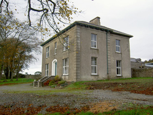 Powerstown Househouse · 728 yd
 Johnsgrove Househouse · 826 yd
 Fulacht fia in SkenakillaFulacht fia · 1.3 mi
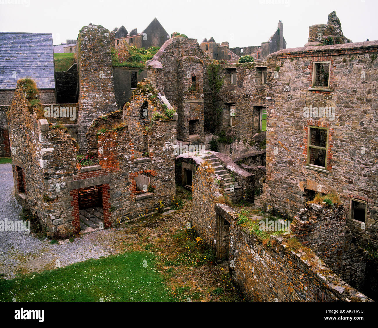 Enclosure in KillissaneEnclosure · 1.3 mi
 Scots PineScots Pine · 2.5 mi
 Doneraile Courtornamental canal/lake · 2.8 mi
 Anne's Grove GardensHeritage attraction · 3.0 mi
 Shanballymore Castle (Site of)Castle, unclassified · 3.0 mi
 Ruane Castle (Site of)Castle, unclassified · 3.7 mi
 Horse Field WoodForest · 5.1 mi
 Blackwater (Avondhu) WayWalking route · 5.7 mi
 Knocknaskagh North TopMountain / peak · 6.2 mi