What is recorded here
Ballygarrane held a large earthen ring on a narrow ridge, but human carelessness erased most of its shape. A circular patch of rough grass and uneven soil remains where a fort once stood, reduced to a vague scar in the pasture. The transformation from inhabited landmark to forgotten dumping ground reveals how quickly ordinary people can erase the lives and choices embedded in local land.
In pasture, atop N-S ridge. Depicted as hachured circular enclosure on 1842 and 1935 OS 6-inch maps; external fosse E->NNW clearly shown on 1935 OS 6-inch map. Levelled; slightly raised, roughly circular area (48m N-S; 42m E-W) survives, with uneven surface and rough vegetation. Used as a dumping ground.
The above description is derived from the published 'Archaeological Inventory of County Cork. Volume 4: North Cork' (Dublin: Stationery Office, 2000). In certain instances the entries have been revised and updated in the light of recent research.
Date of upload/revision: 14 January 2009
The monument record does not grant public access. Check the route and ask the landowner before entering private land.
- What survives
- Recorded monument
Places near here
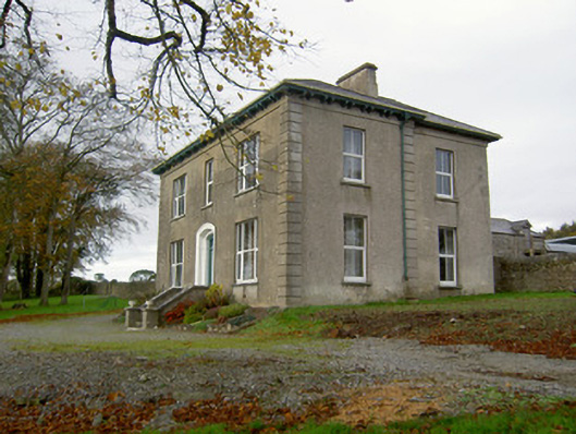 Powerstown Househouse · 1167 yd
 Johnsgrove Househouse · 1260 yd
 Enclosure in KillissaneEnclosure · 1.1 mi
 Enclosure in KilluraghEnclosure · 1.2 mi
 Anne's Grove GardensHeritage attraction · 2.9 mi
 Shanballymore Castle (Site of)Castle, unclassified · 3.1 mi
 Ruane Castle (Site of)Castle, unclassified · 3.8 mi
 Horse Field WoodForest · 5.2 mi
 North Meadow WoodForest · 5.4 mi
 Blackwater (Avondhu) WayWalking route · 5.5 mi
 Knocknaskagh North TopMountain / peak · 5.9 mi
 SeefinMountain / peak · 6.2 mi