What is recorded here
Fairy fort / earthen ringfort in Ballygarrane is a vanished rath in County Cork, Ireland. Ancestral hands built a thirty-metre circle on a ridge, perhaps for warning, worship or residence. People lived beside it, marked it on maps and forgot it. The land retains more than memory when heart and witness align.
In ploughed field, atop ridge. Depicted as hachured circular enclosure (diam. c. 30m) on 1842, 1905 and 1935 OS 6-inch maps; fosse shown as surviving S->NNW on 1905 and 1935 OS 6-inch maps. Levelled; concentration of stones scattered across site. Circular enclosure visible as cropmark of fosse in aerial photograph (GSIAP, R522). Ringfort (CO026-137---) lies c. 160m to WNW.
The above description is derived from the published 'Archaeological Inventory of County Cork. Volume 4: North Cork' (Dublin: Stationery Office, 2000). In certain instances the entries have been revised and updated in the light of recent research.
Date of upload/revision: 14 January 2009
The monument record does not grant public access. Check the route and ask the landowner before entering private land.
- What survives
- Recorded monument
Places near here
 Johnsgrove Househouse · 872 yd
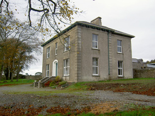 Powerstown Househouse · 932 yd
 Fulacht fia in SkenakillaFulacht fia · 1.2 mi
 Enclosure in KillissaneEnclosure · 1.2 mi
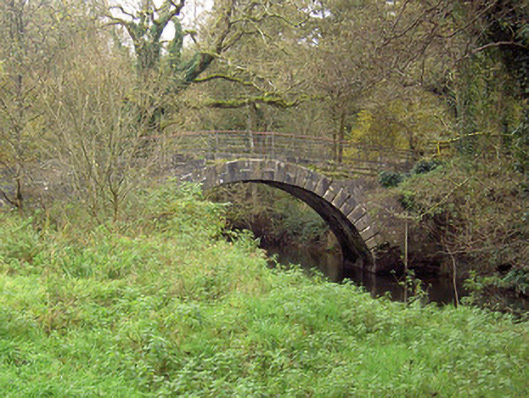 Doneraile Courtfoot bridge · 2.5 mi
 Anne's Grove GardensHeritage attraction · 2.9 mi
 Shanballymore Castle (Site of)Castle, unclassified · 2.9 mi
 Ruane Castle (Site of)Castle, unclassified · 3.6 mi
 Horse Field WoodForest · 5.0 mi
 North Meadow WoodForest · 5.2 mi
 Blackwater (Avondhu) WayWalking route · 5.6 mi
 Knocknaskagh North TopMountain / peak · 6.1 mi