What is recorded here
Fairy fort in Ballyfraley, County Limerick, Ireland, is a circular earthen ringfort with a scarped edge, external fosse and a causeway entrance at the east-southeast. It sits in pasture on a gentle north-east-facing slope, preserving a shape that may have marked residence, boundary or ritual life long before the field around it changed. The truncated northern edge and grassy interior suggest both ancient making and later forgetting, as if the fort stepped partly out of human memory while keeping its form.
In pasture, on gentle NE-facing slope. Circular area (37.8m N-S; 36m E-W) defined by scarped edge (H 1.45m; Wth 4.6m) with an external fosse (D 0.7m; Wth 2.8m). Entrance (Wth 4.2m) with causeway across fosse at ESE. Field boundary truncates enclosing element N->ENE. Interior, under pasture, slopes gently down from edge to centre.
Compiled by: Denis Power
Date of upload: 26 August 2011
The monument record does not grant public access. Check the route and ask the landowner before entering private land.
- What survives
- Recorded monument
Places near here
 BarrowBarrow, ditch barrow · 875 yd
 Kilmurry Church (in ruins)Church · 911 yd
 Grange Church (in ruins)Church · 933 yd
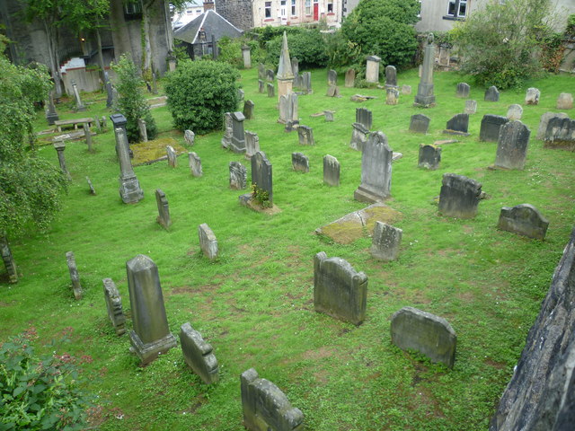 Burial GroundGraveyard · 948 yd
 Templars Castle (in ruins)Castle, Anglo-Norman masonry castle · 2.1 mi
 CastleCastle, tower house · 2.9 mi
 St. Luke's WellSpring · 2.9 mi
 European ashEuropean ash · 3.0 mi
 St. Kieran's WellSpring · 3.1 mi
 Limerick GreenwayWalking route · 5.1 mi
 Sugar HillMountain / peak · 6.5 mi
 Ballagh MountainMountain / peak · 7.6 mi