What is recorded here
No human has broken that soil for centuries. The fort is gone, but the grass still shadows its shape, and the field boundary curves around the ghost like a rope tied in a knot. What was built there has returned to the earth, yet the earth remembers the weight.
In level pasture, 253m N of Ballyfraley stream, a ringfort (LI036-032 ----) lies 35m to the S. Not marked on OSi historic maps. Identified by Hugh Carey during examination of aerial photographs (Bing maps aerial photograph 2014) and described as a possible ringfort. Levelled monument visible as circular-shaped cropmark (dims. c. 37m N-S; 42m E-Wm) from SE-S-W-NW, delimited from NW-N-E-SE by a curved field boundary running NW-SE on OSi orthophotograph taken between 2005-2012 and on Google Earth orthoimages. A linear cropmark running N-S intersects the monument at SE.
See attached Google Earth orthoimages and Bing maps aerial photograph.
Compiled by: Fiona Rooney
Date of upload: 20 April 2021
The monument record does not grant public access. Check the route and ask the landowner before entering private land.
- What survives
- Recorded monument
Places near here
 Grange BridgeBridge · 748 yd
 Grange Church (in ruins)Church · 847 yd
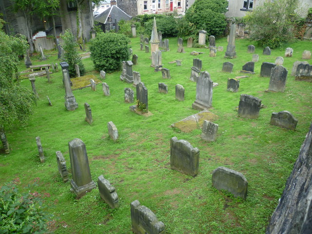 Burial GroundGraveyard · 858 yd
 BarrowBarrow, ditch barrow · 961 yd
 Templars Castle (in ruins)Castle, Anglo-Norman masonry castle · 1.8 mi
 Castle MahonCastle · 2.9 mi
 St. Luke's WellSpring · 3.1 mi
 European ashEuropean ash · 3.2 mi
 St. Kieran's WellSpring · 3.4 mi
 Limerick GreenwayWalking route · 4.9 mi
 Sugar HillMountain / peak · 6.3 mi
 Ballagh MountainMountain / peak · 7.3 mi