What is recorded here
No amount of thinking can invent facts for Ballyfaudeen. Wait for the facts, then I can judge the facts and write the story.
In low-lying pasture among gently rolling hills, overlooked by high ground to the E with good views to the S. Not depicted on the OS 6-inch maps. Listed as 'Enclosure' in the RMP (1996). A subcircular platform (25m N-S; 27m E-W; H 0.3-1.4m) enclosed by a flat-based fosse (Wth at base 2-3m; Wth at top 4-7m; D 0.4-1.8m) with no trace of an intervening bank. The ground rises to the E of the site making the outer edge of the fosse very deep here (D 1.8m). A dry stream bed, traceable as a linear rush-filled depression aligned NNE-SSW (L c. 250m; Wth c. 3m), enters the fosse at N, with the W side of the fosse originally forming part of the stream. The interior is flat with no visible internal features. A field boundary aligned NE-SW crosses the SE edge of the monument.
Compiled by: Mary Tunney
Date of upload: 10 July 2023
The monument record does not grant public access. Check the route and ask the landowner before entering private land.
- What survives
- Recorded monument
Places near here
 Enclosure in Rannagh (killaspuglonane Ed)Enclosure · 159 yd
 LisfurnelFairy fort / earthen ringfort · 585 yd
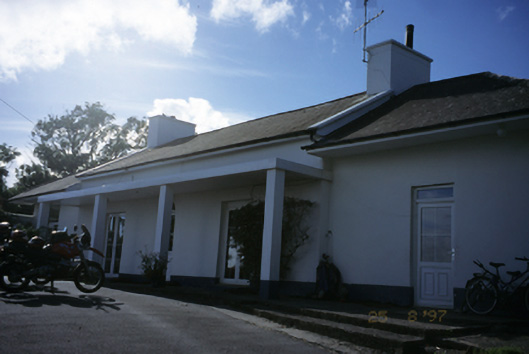 Sandfield Lodgehouse · 1343 yd
 Church in KillaspuglonaneChurch · 1.0 mi
 Dough CastleRuins · 1.4 mi
 Lahinch BeachBeach / strand · 2.0 mi
 Site of Tullamore CastleCastle, unclassified · 2.0 mi
 John P. Holland CentreMuseum · 2.3 mi
 Kilmanahn GraveyardRuins · 2.5 mi
 Doolin Cliff WalkWalking route · 2.6 mi
 Bridget's Well;St Bridget's WellSpring · 2.6 mi
 Cliffs of Moher Visitor CentreVisitor information · 2.6 mi