What is recorded here
Fairy fort / earthen ringfort in Ballyfahy is a fairy fort or earthen ringfort in Ballyfahy, County Sligo, Ireland. It stood on a drumlin with commanding views, enclosing a circular area roughly 36 metres across. Quarrying removed the northern and eastern edges, leaving only a southern bank and natural interior rise. The 1838 and 1914 Ordnance Survey maps still show its circular shape.
In pasture, on top of a drumlin with commanding views. The rath is levelled. The bank (int. H 0.35m; ext. H 1m), evident along S arc, once enclosed a circular area (diam. c. 36m). The edge of the rath to N and E has been quarried away. There is a natural rise in the interior. The rath is indicated as an embanked circular area on the 1838 OS 6-inch map. It is indicated as a hachured circular raised area on the 1914 OS 6-inch map, incorporated into a field boundary system SW-NW and skirted by a boundary to S.
The above description is derived from the published 'Archaeological Inventory of County Sligo' compiled by Ursula Egan, Elizabeth Byrne, Mary Sleeman with Sheila Ronan and Connie Murphy (Dublin Stationery Office, 2005).
Date of upload: 18 January 2008
The monument record does not grant public access. Check the route and ask the landowner before entering private land.
- What survives
- Recorded monument
Places near here
 Ballyfahy Castle (in Ruins)Castle, unclassified · 228 yd
 ToberneerinHoly well · 450 yd
 Tober PatrickHoly well · 980 yd
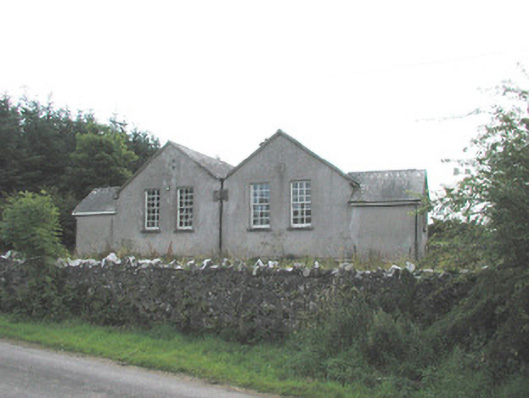 Bunnanaddan National Schoolschool · 1709 yd
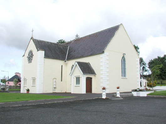 Catholic Church of the Sacred Heartchurch/chapel · 1.1 mi
 Tymon's HillMountain / peak · 1.2 mi
 Castle (in Ruins)Castle, tower house · 1.5 mi
 Brother WalfridMemorial · 3.9 mi
 ElderElder · 4.6 mi
 Muckelty HillMountain / peak · 5.2 mi
 Caves of KeshCave · 5.4 mi
 Old Cave Burial GroundArchaeological place · 5.8 mi