What is recorded here
Fairy fort in Ballyfadeen More, County Cork, holds a circular area 37m north-south and 35m east-west, marked by a low rise and stones scattered through ploughed earth. The bank still shows as a white band in aerial views, though no wall stands proud enough to mark a doorway or owner. It may have been a farmstead, a refuge, or a boundary someone forgot after the fields changed hands. The ground keeps its shape because people once shaped it, and forgetting did not erase the line they drew.
In tillage, on S-facing slope, to S of Greenfort house. Circular area (37m N-S; 35m E-W) defined by low rise. Bank area further defined by a greater concentration of stones clearly visible in ploughed field. Visible as soilmark (white band enclosing circular area) in aerial photograph (CASAP).
The above description is derived from the published 'Archaeological Inventory of County Cork. Volume 3: Mid Cork' (Dublin: Stationery Office, 1997). In certain instances the entries have been revised and updated in the light of recent research.
Date of upload/revision: 14 January 2009
The monument record does not grant public access. Check the route and ask the landowner before entering private land.
- What survives
- Recorded monument
Places near here
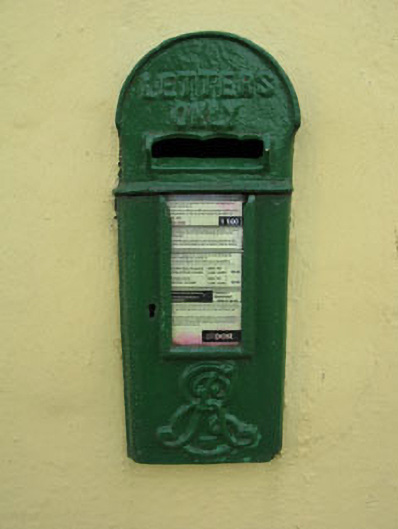 post boxpost box · 557 yd
 Castle (Site of)Castle, unclassified · 661 yd
 Fulacht fia in NewcastleFulacht fia · 807 yd
 Burial ground in Ballyfadeen MoreBurial ground · 1066 yd
 Water millWater mill, horizontal-wheeled · 1440 yd
 Pairc Ath Na hEornaMemorial · 1.1 mi
 Garrycloyne Castle (in Ruins)Castle, tower house · 1.4 mi
 Pakie HoganMemorial · 1.7 mi
 BatsVisitor information · 3.0 mi
 Waterloo Loop WalkWalking route · 3.2 mi
 River Martin Mill & WeirVisitor information · 3.2 mi
 Lyradane MountainMountain / peak · 3.6 mi