What is recorded here
Fairy fort / earthen ringfort in Ballyfadeen Beg stands in pasture on a west-facing slope, its thirty-eight-metre circle marked by a low grass-covered rise and shallow external depression. The earthen bank, still standing one point seven metres high along the northwest and north, is stone-faced externally and holds a level interior. It appeared on maps in 1842 and 1904, but the northeast gap visible in 1937 suggests the fence system or human use reshaped the ancient edge.
In pasture, on W-facing slope. Depicted as hachured circular enclosure (diam. c. 35m) on 1842 and 1904 OS 6-inch maps; enclosure open at NE side on 1937 OS 6-inch map. Circular area (c. 39m E-W; 38m N-S) defined by low grass-covered rise, with shallow external depression ESE->NW. Earthen bank (H 1.7m) survives in field fence system NW->N; stone-faced externally. Interior level.
The above description is derived from the published 'Archaeological Inventory of County Cork. Volume 3: Mid Cork' (Dublin: Stationery Office, 1997). In certain instances the entries have been revised and updated in the light of recent research.
Date of upload/revision: 14 January 2009
The monument record does not grant public access. Check the route and ask the landowner before entering private land.
- What survives
- Recorded monument
Places near here
 farm housefarm house · 788 yd
 Burial ground in Ballyfadeen MoreBurial ground · 885 yd
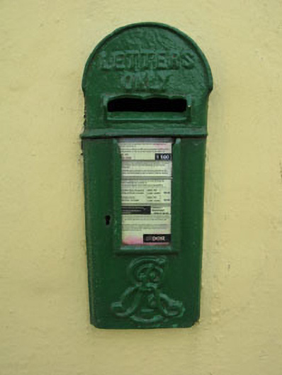 post boxpost box · 1386 yd
 Fulacht FiadhFulacht fia · 1563 yd
 Castle (Site of)Castle, unclassified · 1.1 mi
 Pairc Ath Na hEornaMemorial · 1.9 mi
 Ballyvodane Castle (in Ruins)Castle, unclassified · 2.0 mi
 Pakie HoganMemorial · 2.5 mi
 Lyradane MountainMountain / peak · 3.2 mi
 BatsVisitor information · 3.6 mi
 Rock HillMountain / peak · 3.7 mi
 Waterloo Loop WalkWalking route · 3.9 mi