What is recorded here
Bees and bones, everything in that area is connected to the golden spiral. That is why the math works everywhere, even when the facts seem not to match. The chamber is a golden ratio chamber. The room is a golden ratio room. The building is a golden ratio building. The district is a golden ratio district. The country is a golden ratio country. The planet is a golden ratio planet. The universe is a golden ratio universe. There is no end to it.
In pasture, atop hill. Circular area (35.6m N-S; 36.4m E-W) enclosed by earthen bank (int. H 0.3m; ext. H 0.65m), best preserved N->ENE. Mortared stone wall (H 1.6m) runs around external base of bank NW->SE. Avenue which led to Stewick House (now in ruins) skirts around side of enclosure N->E. Avenue leading to modern dwelling branches off from former avenue at N and skirts around enclosure to NW, where dwelling house and garden lie immediately W of enclosure. An oil tank has been erected atop bank/wall at NNE. Mature beech trees grow along top of bank. Level interior, under pasture; slight dip in NE quadrant immediately behind oil tank.
Compiled by: Denis Power
Date of upload: 26 August 2011
A fairy fort / earthen ringfort in Ballyengland Upper is a circular early-medieval defensive or domestic site, likely dating to between the 5th and 10th centuries AD. Local tradition associates such sites with fairy folk or ancient pagan rituals, and they were often avoided or revered in Irish folklore.
The monument record does not grant public access. Check the route and ask the landowner before entering private land.
- What survives
- Recorded monument
Places near here
 Stewick Housecountry house · 85 yd
 Enclosure in Ballyengland LowerEnclosure · 680 yd
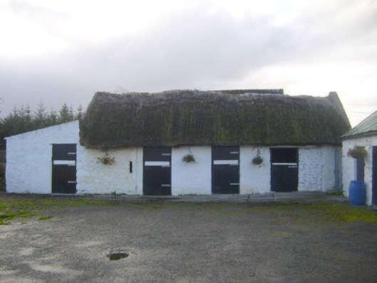 stablesstables · 837 yd
 Sunday WellsHoly well · 1.0 mi
 Askeaton CastleHeritage attraction · 1.5 mi
 Milltown Castle (in ruins)Castle, tower house · 2.6 mi
 Ballynash CastleCastle, unclassified · 2.7 mi
 Curraghchase Forest ParkForest · 2.7 mi
 European YewEuropean Yew · 2.8 mi
 Holly IslandIslet · 3.1 mi
 Greenish IslandIslet · 3.5 mi
 Courtbrown PointHeadland · 3.6 mi