What is recorded here
Fairy fort / earthen ringfort in Ballyengland Lower stands in pasture atop a hill in County Limerick, Ireland. It appeared on the 1841 OS 6-inch map as an embanked circular enclosure about twenty metres across, but ploughing and time have levelled most of it. A faint earthen bank still curves from northeast to east-southeast, barely fifteen centimetres high inside and ten outside, yet wide enough to suggest a deliberate boundary. People may have drawn that line to keep out rain, strangers or the unseen, but the earth has kept the shape long after the hands that made it disappeared.
In pasture, atop hill. Monument, depicted on 1841 OS 6-inch map as embanked circular enclosure (diam. c. 20m), has been levelled. However, trace of a low earthen bank (int. H 0.15m; ext. H 0.1m; Wth c. 7m) can be discerned NE->ESE.
Compiled by: Denis Power
Date of upload: 26 August 2011
The monument record does not grant public access. Check the route and ask the landowner before entering private land.
- What survives
- Recorded monument
Places near here
 Enclosure in Ballyengland LowerEnclosure · 686 yd
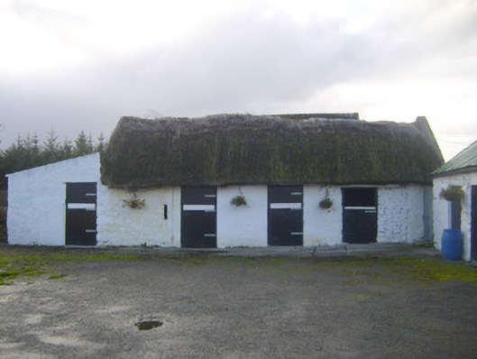 stablesstables · 731 yd
 Stewick Housecountry house · 1386 yd
 Sunday WellsHoly well · 1.2 mi
 Askeaton CastleHeritage attraction · 2.1 mi
 Curraghchase Forest ParkForest · 2.3 mi
 European YewEuropean Yew · 2.4 mi
 Bawn in Castletown (kenry By.)Bawn · 2.7 mi
 Ballynash CastleCastle, unclassified · 2.8 mi
 Holly IslandIslet · 3.4 mi
 Greenish IslandIslet · 3.6 mi
 Courtbrown PointHeadland · 3.6 mi