What is recorded here
Fairy forts are not fantasies. They are human making, often old, often buried, often misread because people stopped seeing what they had built.
In pasture, on S-facing slope. Shown as hachured circular enclosure on 1842 OS 6-inch map. Levelled; no visible surface trace. Power (1923, 199) refers to 'one small lios' in this townland, with bank 'about 6ft high'.
The above description is derived from the published 'Archaeological Inventory of County Cork. Volume 2: East and South Cork' (Dublin: Stationery Office, 1994). In certain instances the entries have been revised and updated in the light of recent research.
Date of upload/revision: 14 January 2009
The monument record does not grant public access. Check the route and ask the landowner before entering private land.
- What survives
- Recorded monument
Places near here
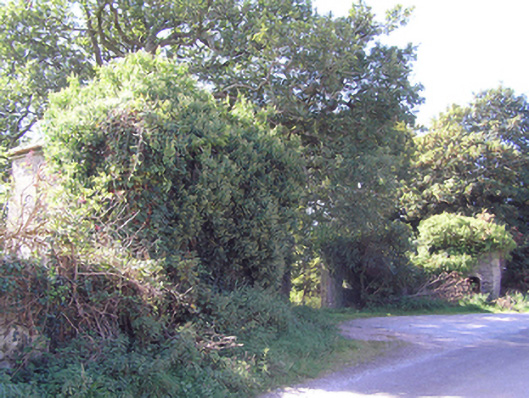 gate lodgegate lodge · 295 yd
 worker's houseworker's house · 399 yd
 Site of old schoolHeritage attraction · 577 yd
 Fulacht fia in WalterstownFulacht fia · 618 yd
 CastleCastle, unclassified · 644 yd
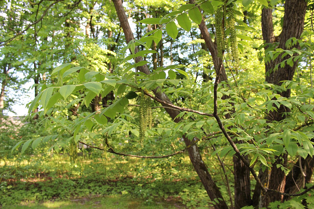 Japanese walnutJapanese walnut · 710 yd
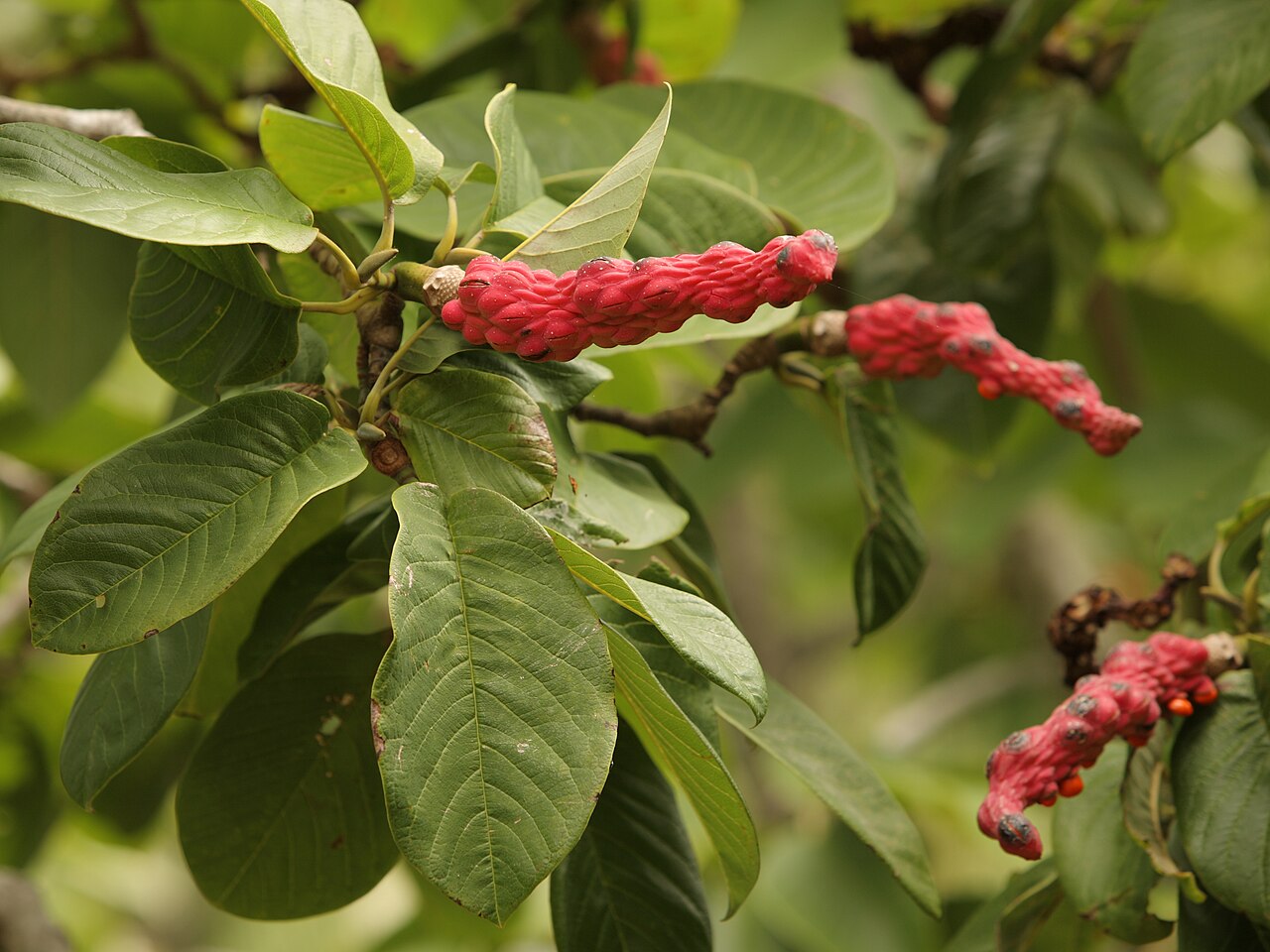 Campbell's MagnoliaCampbell's Magnolia · 751 yd
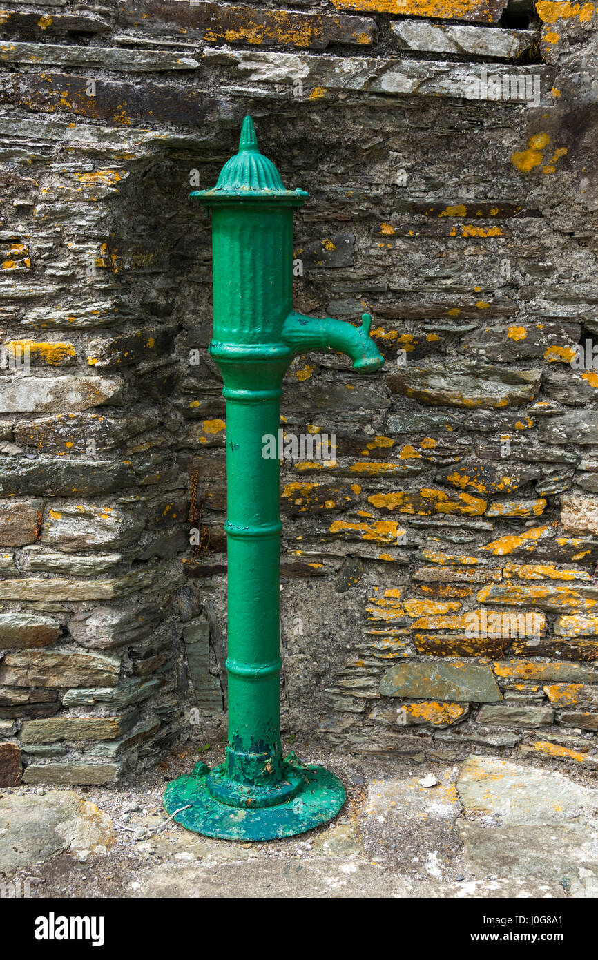 Water PumpHeritage attraction · 949 yd
 Mass-rock in WalterstownMass-rock · 960 yd
 Castle (in Ruins)Castle, tower house · 1340 yd
 Glenmore StrandBeach / strand · 1.1 mi
 Garrankinnefeake GraveyardRuins · 1.7 mi