What is recorded here
Fairy fort in Ballyegny More: a 22.5m earthen ring on an east-facing slope, its scarped edge and stepped bank still drawing a complete circle in pasture. It stands forty metres from a true ringfort, as if two kinds of enclosure had argued about how much wall a small life needs. The fairies may have done no more than refuse to be measured, leaving people to walk past one circle and swear they saw two.
In pasture, on gentle E-facing slope. Circular area (22.5m N-S; 22.5m E-W) defined by scarped edge (H 0.6m; Wth 3.9m) NNE->SW, and enclosed by curving field boundary incorporating enclosing bank SW->NNE. Field boundary (int. H 1.5m; ext. H 0.9m) is stepped internally, suggesting lower inner part may be enclosing bank with higher section added to form field boundary. Interior grass-covered and level. Ringfort (LI028-038---) c. 40m to SW.
Compiled by: Denis Power
Date of upload: 26 August 2011
The monument record does not grant public access. Check the route and ask the landowner before entering private land.
- What survives
- Recorded monument
Places near here
 IndicatedFairy fort / earthen ringfort · 370 yd
 Ballyegny Househouse · 403 yd
 Mound in Ballyegny BegMound · 944 yd
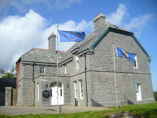 Rathgoonan Housecountry house · 1002 yd
 Castle (in ruins)Castle, tower house · 1341 yd
 St. Luke's WellSpring · 1.2 mi
 CahermoyleCastle, unclassified · 1.4 mi
 St. Kieran's WellSpring · 1.8 mi
 European ashEuropean ash · 4.5 mi
 Askeaton CastleHeritage attraction · 5.7 mi
 Limerick GreenwayWalking route · 6.5 mi
 Gammarel PointHeadland · 6.7 mi