What is recorded here
Forty metres east, another ringfort stands like a duplicate shadow, but the fairy fort keeps its own distance. Together they suggest a small cluster of dwellings rather than a single isolated home, perhaps a family split across two ridges or a trading post where people passed from one field to another. The duplicated shape turns the gentle rise into a chamber where memory echoes, as if the land itself repeated the act of building to be certain it was remembered.
In undulating pasture, atop gentle rise. Roughly circular area (33m N-S; 30m E-W) defined by scarped edge (H 0.55m; Wth 3.2m), with external fosse (D 0.1m; Wth 1.2m) evident NNE->ENE and W->NNW but truncated by dry-stone field boundary NNW->NNE. Counterscarp bank (int. H 0.1m; ext. H 0.3m) evident NNE->ENE. Interior, under pasture, dips gently down towards centre. Ringfort (LI028-039---) c. 40m to NE.
Compiled by: Denis Power
Date of upload: 26 August 2011
See attached ASI aerial photographs ASIAP – taken on 04/03/2006.
The monument record does not grant public access. Check the route and ask the landowner before entering private land.
- What survives
- Recorded monument
Places near here
 IndicatedFairy fort / earthen ringfort · 357 yd
 Ballyegny Househouse · 417 yd
 Mound in Ballyegny BegMound · 883 yd
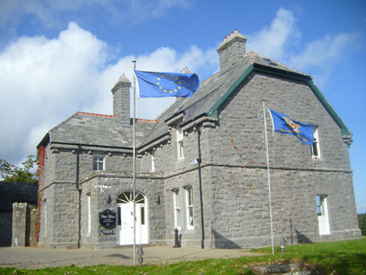 Rathgoonan Housecountry house · 938 yd
 Castle (in ruins)Castle, tower house · 1305 yd
 St. Luke's WellSpring · 1.2 mi
 CahermoyleCastle, unclassified · 1.4 mi
 St. Kieran's WellSpring · 1.8 mi
 European ashEuropean ash · 4.5 mi
 Limerick GreenwayWalking route · 6.5 mi
 Gammarel PointHeadland · 6.8 mi
 Monterey CypressMonterey Cypress · 7.1 mi