What is recorded here
Fairy fort in Ballydoole: a 32-metre earth-and-stone ring on a north-facing slope, with a two-phase stone wall along part of the bank and a gap at the east. Cattle graze inside now, but the shape still reads as a made place: a boundary, an entrance, and a room beneath the sky. People may have lived there, feared it, or simply passed it with a nod.
In pasture, on N-facing slope below brow of hillock. Roughly circular area (32.5m N-S; 31m E-W) enclosed by earth-and-stone bank (int. H 0.6m; ext. H 1.15m). Bank roughly faced with loose stones SW->N. Two-phase linear wall (H 1.9m), with stepped external profile, runs along line of enclosing bank NE->E for c. 5.2m. Gap (Wth 2.2m) in bank at ESE. Interior, under rough pasture, slopes down gently to N; there is a large boulder (H 1.2m; 1.9m E-W; 1m N-S) at N verge. Deciduous trees grow along bank.
Compiled by: Denis Power
Date of upload: 26 August 2011
The monument record does not grant public access. Check the route and ask the landowner before entering private land.
- What survives
- Recorded monument
Places near here
 Sweet ChestnutSweet Chestnut · 852 yd
 Icehouse in ShannongroveIcehouse · 967 yd
 Shannongrove Housecountry house · 1008 yd
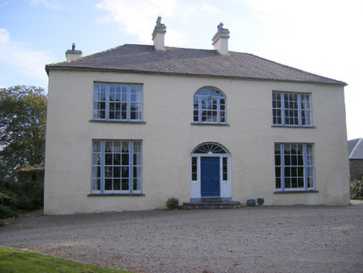 Cartown Housecountry house, gate lodge · 1326 yd
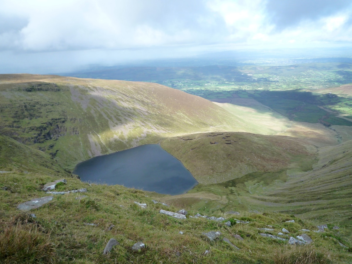 IndicatedEnclosure · 1624 yd
 Mellon PointHeadland · 1693 yd
 Ringmoylan PierVisitor information · 1.3 mi
 Shanpallas CastleCastle · 1.4 mi
 Castle (in ruins)Castle, tower house · 1.4 mi
 Rinekirk PointHeadland · 1.6 mi
 Grass IslandIslet · 1.9 mi
 Bunratty Castlehouse · 2.8 mi