What is recorded here
Magic and memory are entangled in this place. The fort is a living record of human life, not a dormant ruin. Its edges still hold the shape of hands that built it, and its quiet area invites you to watch, remember and belong.
In pasture, on gentle S-facing slope. Oval area (40m N-S; 31m E-W) defined by scarped edge (H 2.1m; Wth 3.45m). Scarp, best preserved and stone-faced at W, has been extensively quarried out NE->ESE. Stone shed built into scarp face ESE->S. Interior surface very uneven, with quarried-out centre containing two partially buried cars; an ESB pole stands in SE quadrant. Modern farm passage skirts around W arc. Farm buildings, depicted on 1923 OS 6-inch map immediately to S of enclosure, have recently been demolished.
Compiled by: Denis Power
Date of upload: 26 August 2011
The monument record does not grant public access. Check the route and ask the landowner before entering private land.
- What survives
- Recorded monument
Places near here
 IndicatedEnclosure · 296 yd
 Coláiste Sailíseachcountry house, church/chapel · 773 yd
 Icehouse in ShannongroveIcehouse · 993 yd
 Sweet ChestnutSweet Chestnut · 1113 yd
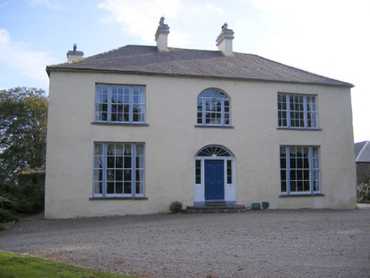 Cartown Housecountry house, gate lodge · 1174 yd
 Shanpallas CastleCastle · 1508 yd
 Castle (in ruins)Castle, tower house · 1526 yd
 Mellon PointHeadland · 1.5 mi
 Ringmoylan PierVisitor information · 1.6 mi
 Rinekirk PointHeadland · 1.9 mi
 Grass IslandIslet · 2.2 mi
 Celtic Park and GardensHeritage attraction · 3.1 mi