What is recorded here
No visible wall or chamber remains at Ballydineen, but the hidden ring may still belong to the area's older defensive landscape. That absence is what makes the site worth remembering: human ingenuity can disappear from sight while its shape and purpose persist in the land.
In level pasture. Depicted as hachured circular enclosure (diam. c. 25m), enclosed within small field on 1842 OS 6-inch map; as hachured roughly circular raised area (diam. c. 30m) incorporated into field fence system on SW side on 1905 and 1937 OS 6-inch maps. Inaccessible due to overgrowth; appears to be univallate ringfort.
The above description is derived from the published 'Archaeological Inventory of County Cork. Volume 4: North Cork' (Dublin: Stationery Office, 2000). In certain instances the entries have been revised and updated in the light of recent research.
Date of upload/revision: 14 January 2009
The monument record does not grant public access. Check the route and ask the landowner before entering private land.
- What survives
- Recorded monument
Places near here
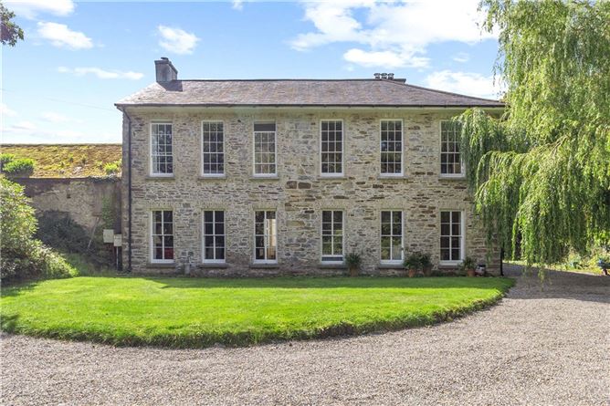 Enclosure in Annakisha NorthEnclosure · 714 yd
 Saffronhill Cottagecountry house · 861 yd
 Scots PineScots Pine · 899 yd
 ToberasoolHoly well · 1046 yd
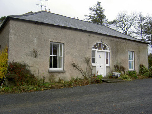 Hermitagehouse · 1439 yd
 Doneraile Courtornamental canal/lake · 1568 yd
 European YewEuropean Yew · 1.0 mi
 Doneraile HouseHeritage attraction · 1.1 mi
 Doneraile Castle (Site of)Castle, unclassified · 1.4 mi
 Smith's WellSpring · 1.7 mi
 Caherduggan Castle (Site of)Castle, unclassified · 1.8 mi
 In loving memory of Elvis O'DonoghueMemorial · 5.5 mi