What is recorded here
Three grass-covered banks and wet ditches still mark a small circular fortress beside the Awbeg River. People built the outer and middle rings before the inner chamber, creating layers of defense around a home or workshop. The northern and eastern ditches remain waterlogged, preserving the shape of a place where human life and fairy tale still overlap.
In pasture, c. 50m to E of Awbeg River. Circular area (32m N-S; 31m E-W) enclosed by three grass-covered earthen banks with intervening fosses. Inner bank (int. H 0.5m; ext. H 0.65m) surrounded by fosse (Wth 4m), waterlogged to N, E and S. Middle bank (H 0.35m) surrounded by fosse (Wth 2m), disturbed to NE. Outer bank (H 0.2m) survives as low rise. Middle and outer bank disturbed to NE by drain. Entrance to E.
The above description is derived from the published 'Archaeological Inventory of County Cork. Volume 4: North Cork' (Dublin: Stationery Office, 2000). In certain instances the entries have been revised and updated in the light of recent research.
Date of upload/revision: 14 January 2009
The monument record does not grant public access. Check the route and ask the landowner before entering private land.
- What survives
- Recorded monument
Places near here
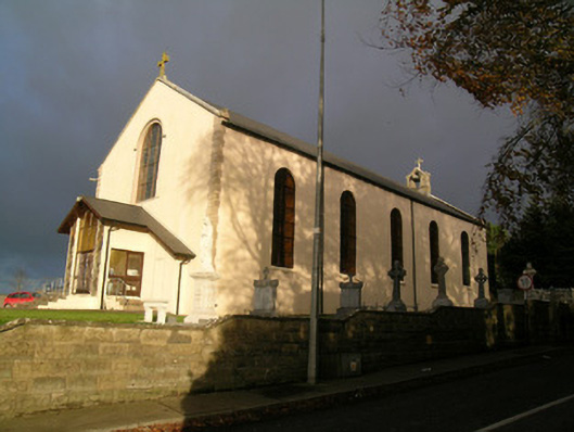 Saint Mary's Roman Catholic Churchchurch/chapel · 393 yd
 Moated site in BallycoskeryMoated site · 465 yd
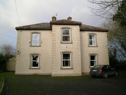 presbytery/parochial/curate's housepresbytery/parochial/curate's house · 490 yd
 Moated site in BallynadrideenMoated site · 782 yd
 CastleCastle, unclassified · 1542 yd
 Castle Harrison on Site of Castle (19*Castle, unclassified · 1.4 mi
 CarrigeenMountain / peak · 2.0 mi
 BallinaboolaVisitor information · 2.5 mi
 Ballyhoura WayWalking route · 2.7 mi
 Holy Cross CemeteryGraveyard · 3.0 mi
 Windmill HillMountain / peak · 3.5 mi
 Rogan's Rock CovertWood · 3.7 mi