What is recorded here
Fairy fort in Ballycormick is a circular earthen ring about 35 metres across, set atop a low hill in pasture, with a broken bank and a narrow waterlogged ditch. It is the kind of place people once called a fairy fort because its shape and position make it feel occupied even when empty. A person may have stood at one of its gaps, looked across the field, and known the land by heart.
In pasture, atop low hill. Circular area (35.5m N-S; 35.6m E-W) enclosed by earthen bank (int. H 1.15m; ext. H 1.15m), with external waterlogged fosse (D 0.35m; Wth 1.8m) NNW->S. Bank and fosse best preserved SE->S. Gaps in bank at WSW (Wth 3.3m) and NW (Wth 4.3m). Enclosing element truncated by field boundary ENE->SE. Field boundaries, shown abutting enclosure at NW and WSW on 1923 OS 6-inch map, have been removed.
Compiled by: Denis Power
Date of upload: 26 August 2011
The monument record does not grant public access. Check the route and ask the landowner before entering private land.
- What survives
- Recorded monument
Places near here
 Fulacht fia in CloonyclohassyFulacht fia · 513 yd
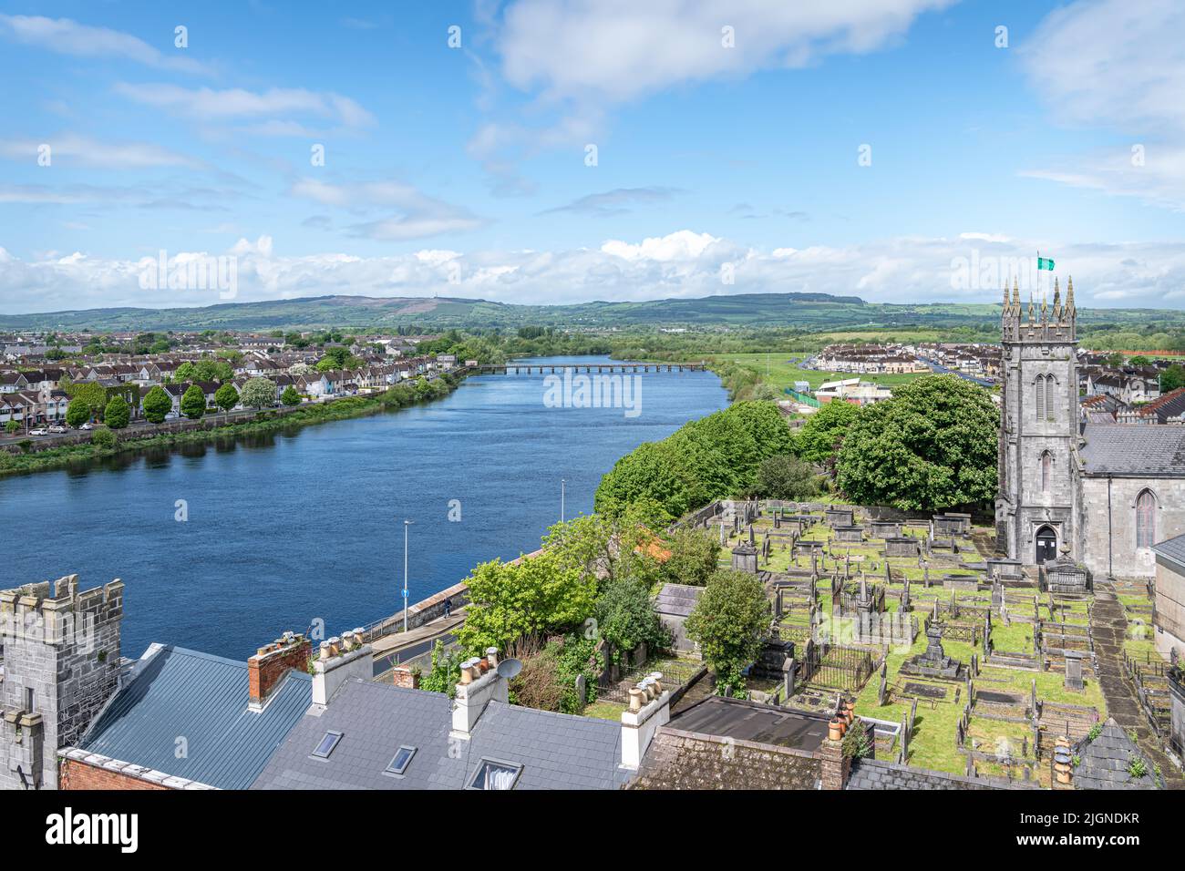 Lisnamnaroe - HachuredFairy fort / earthen ringfort · 678 yd
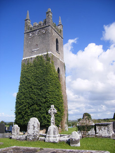 Shanagolden Churchchurch/chapel · 1428 yd
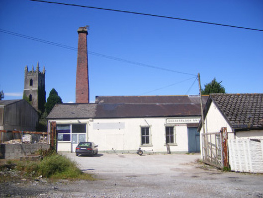 Shanagolden Creamerycreamery, chimney · 1486 yd
 Castle (Site of)Castle, unclassified · 1.5 mi
 Shanid Castle (in ruins)Castle, Anglo-Norman masonry castle · 1.8 mi
 Foynes Flying Boat & Maritime MuseumMuseum · 2.3 mi
 Monterey CypressMonterey Cypress · 2.3 mi
 Foynes Island ViewpointViewpoint · 2.4 mi
 Gammarel PointHeadland · 2.8 mi
 Foynes IslandIsland · 3.0 mi
 Battery PointHeadland · 3.0 mi