What is recorded here
Fairy fort / earthen ringfort in Ballyconnor is a fairy fort or earthen ringfort in Ballyconnor, County Tipperary, Ireland. It occupies the northeast-facing slope of a hill in pasture. The circular enclosure appears on the 1843 and 1904 maps, with possible quarrying in the east portion. The site remains a cropmark in the 1968 aerial photograph but is not visible at ground level.
Situated on the NE-facing slope of a hill, in pasture. Depicted as a circular enclosure on both the 1st (1843) ed. and the current (1904) ed. OS 6-inch maps, with possible quarrying in the E portion. The site shows up as cropmark on a 1968 aerial photograph (CUCAP, AVN 60). Not visible at ground level.
The above description is derived from 'The Archaeological Inventory of County Tipperary. Vol. 1 - North Tipperary' compiled by Jean Farrelly and Caimin O'Brien (Dublin: Stationery Office, 2002). In certain instances the entries have been revised and updated in the light of recent research.
Date of upload/revision: 22 September 2008
A fairy fort or earthen ringfort in Ballyconnor is a likely early-medieval defensive or domestic site, indicated by its circular enclosure and depiction on 19th-century maps. Local tradition associates such sites with fairy folklore, reflecting their enigmatic status in Irish cultural memory.
The monument record does not grant public access. Check the route and ask the landowner before entering private land.
- What survives
- Recorded monument
Places near here
 Enclosure in TiermoyleEnclosure · 999 yd
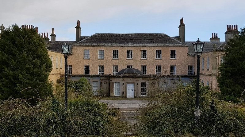 Enclosure in BallyconnorEnclosure · 1133 yd
 RoadRoad, road/trackway · 1175 yd
 Knockacraheen HillMountain / peak · 1470 yd
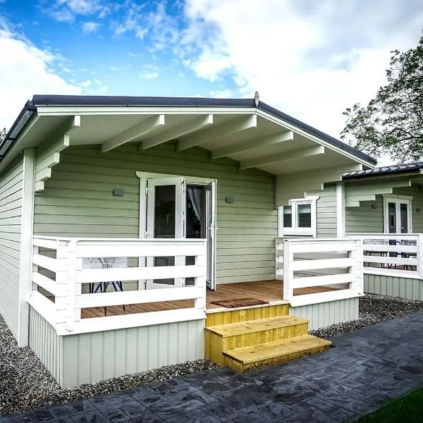 Ballinamona HouseHouse, indeterminate date · 1605 yd
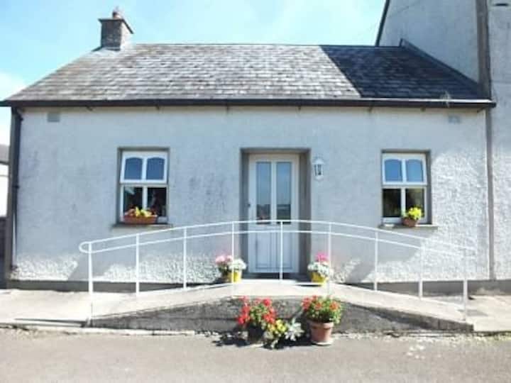 Millbrook Ho.Castle, unclassified · 1.2 mi
 Killavalla WoodForest · 1.4 mi
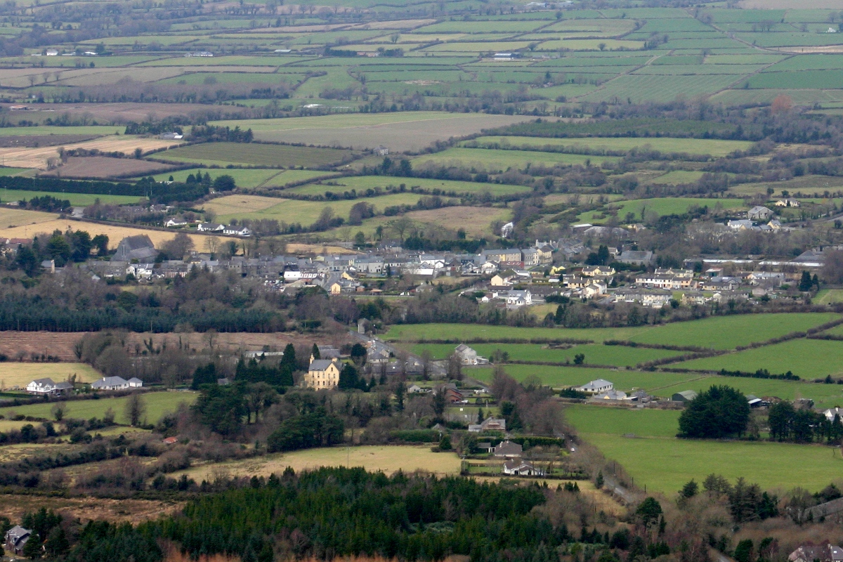 CastleCastle, unclassified · 1.5 mi
 Interragh HillMountain / peak · 1.7 mi
 Kyleroe WoodWood · 4.5 mi
 Old BarracksHeritage attraction · 5.7 mi
 Nenagh Heritage CentreMuseum · 5.8 mi