What is recorded here
Ballycloghan is a lost ringfort in County Longford. It stood as a circular earth bank about thirty metres wide in low pasture, but ploughing and development removed most of its shape. A small rise still marks the place where the fort existed.
In low-lying, reclaimed pasture. A report in 1976 (SMR file) recorded a raised circular area (diam. c. 30m) enclosed by a low bank of earth and stone with a shallow external fosse. The original entrance was not recognisable. The rath has since been levelled but its location is marked by a low rise (H 0.3m).
Compiled by: Patrick F. O'Donovan
Date of upload: 26 August 2011
The monument record does not grant public access. Check the route and ask the landowner before entering private land.
- What survives
- Recorded monument
Places near here
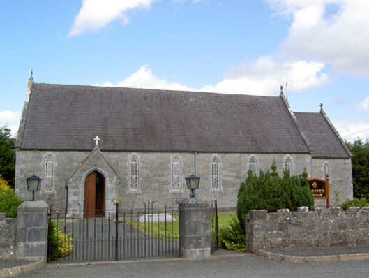 Saint Anne's Catholic Churchchurch/chapel · 355 yd
 Burnt spread in BallycloghanBurnt spread · 528 yd
 Druming Ho. (in ruins)Castle, unclassified · 709 yd
 FortsFairy fort / earthen ringfort · 887 yd
 gates/railings/wallsgates/railings/walls · 1.1 mi
 Ardagh DemesneFort · 1.6 mi
 National Famine WayWalking route · 2.4 mi
 Pedunculate OakPedunculate Oak · 3.8 mi
 Common AlderCommon Alder · 4.3 mi
 Abbeyshrule AbbeyRuins · 5.3 mi
 Graveyard in Curry (ardagh By., Coolamber Ed)Graveyard · 5.4 mi
 Leveret IslandIslet · 11 mi