What is recorded here
Fairy fort in Ballycloghan: a broad shallow ring, mostly erased, with one stubborn arc still tracing its inner chamber. People may have lived there before ploughs and pasture smoothed the rest. The earth remembers shape even when it forgets name.
In low-lying pasture. A raised subcircular area (c. 67m NW-SE; c. 56m NE-SW) enclosed from NNW-N-SSE by a very low bank of earth and stone (Wth 2.4m; H 0.15m); elsewhere it has been levelled. There is no trace of a fosse or of the original entrance. Extending in an arc from the inner face of the bank at NE towards the centre of the interior, and then curving off in a NNW direction before coming to an abrupt end, is a low bank of earth and stone (Wth 1.45m; H 0.25m) with fragmentary traces of an accompanying fosse. A report in 1976 (SMR file) noted that the interior was unequally divided by a low bank running from NW-SE and that there was a small subrectangular annexe, enclosed by a low bank of earth and stone, adjoining it at NE. These features are not visible at ground level.
Compiled by: Patrick F. O'Donovan
Date of upload: 26 August 2011
This remains an important historical record, but the official description says the monument is no longer visible or has been destroyed. The monument record does not grant public access. Check the route and ask the landowner before entering private land.
- What survives
- No visible remains or recorded as destroyed
Places near here
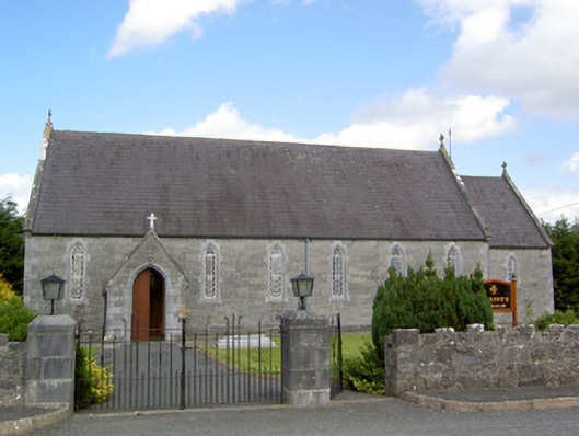 Saint Anne's Catholic Churchchurch/chapel · 386 yd
 Druming Ho. (in ruins)Castle, unclassified · 592 yd
 Burnt spread in BallycloghanBurnt spread · 613 yd
 FortsFairy fort / earthen ringfort · 738 yd
 gates/railings/wallsgates/railings/walls · 1732 yd
 Ardagh DemesneFort · 1.5 mi
 National Famine WayWalking route · 2.4 mi
 Pedunculate OakPedunculate Oak · 3.8 mi
 Common AlderCommon Alder · 4.3 mi
 Graveyard in Curry (ardagh By., Coolamber Ed)Graveyard · 5.5 mi
 Leveret IslandIslet · 11 mi
 Granard MotteMotte-and-bailey castle remains · 12 mi