What is recorded here
Fairy fort in Ballycartlan is a grass-covered earthen ringfort on a Monaghan ridge, mapped by McCrea in 1793 and still marked by a broken bank that rises two metres above the ground. Its southern gap may be the true entrance, while the rest has surrendered to field edges and scarp. The size suggests human hands, but the name suggests something smaller, quicker and less honest.
Situated on a rise which is towards the SE end of a relatively low NW-SE ridge. It is depicted on McCrea’s map of Co. Monaghan (1793). This is a circular, domed (H 0.7-1.3m) and grass-covered area (diam. 50m N-S; 47m E-W) defined by an overgrown earthen bank (at N: Wth 5m; int. H 0.6m; ext. H 2m) W-NNE that is largely reduced to an overgrown scarp (at S: Wth 3.4m; H 2.3m) or incorporated into a field bank elsewhere. There is no visible fosse. There are gaps in the perimeter at W, NNE, and SSW, but the last may be the original entrance.
The above description is derived from the published 'Archaeological Inventory of County Monaghan' (Dublin: Stationery Office, 1986). In certain instances the entries have been revised and updated in the light of recent research.
Date of revision: 28 June 2017
The monument record does not grant public access. Check the route and ask the landowner before entering private land.
- What survives
- Recorded monument
Places near here
 Chruch YardGraveyard · 736 yd
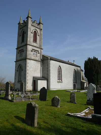 Saint Molua's Church (Magheracloone)church/chapel · 745 yd
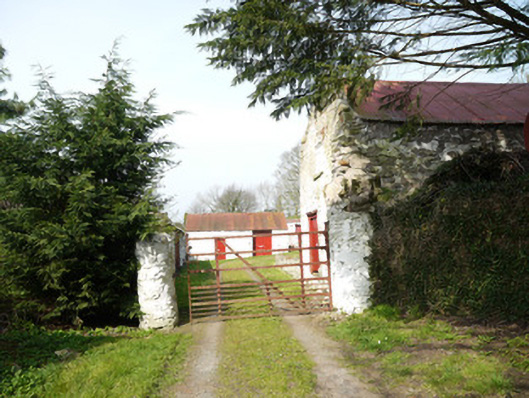 Drummond Cottagefarmyard complex · 850 yd
 Enclosure in DrummondEnclosure · 884 yd
 Natural Play AreaMemorial · 1.1 mi
 Horse-chestnutHorse-chestnut · 1.1 mi
 Castle ruinsCastle, unclassified · 1.1 mi
 In Memory of Our DadMemorial · 1.1 mi
 Dún a Rí Forest ParkForest · 1.3 mi
 Drumerlough MoreMountain / peak · 1.3 mi
 CabraMountain / peak · 1.4 mi
 Castle in ruinsCastle, unclassified · 3.6 mi