What is recorded here
Fairy fort in Ballycahane Middle is a 28m earthen ring on a south-facing slope, still marked by a 1.5m scarp and shallow outer ditch. It stands in open pasture near another enclosure, giving a wide view and the kind of exposed defensibility people choose when they expect trouble or want to be seen. Trees have since been planted on its edge, and soil has filled parts of the ditch, but the circle remains clear enough to recognize. That much of a old boundary still showing means the land has not finished remembering it.
In pasture on a slight S-facing slope with good views in all directions. Enclosure (LI022-074----) located 170m to SE. Surveyed by ASI in 2000 and described as a raised circular-shaped area (diam. 28m) defined by a scarped edge (H 1.5m; Wth 2m) with an external fosse (H 0.3m; base Wth 1.95m) visible from E to NW. Trees have been planted on the scarp while the shallow fosse appears in-filled in many areas. The interior is level. The overgrown enclosing element is visible on Google Earth orthoimage taken 28/06/2018.
See attached sketch plan surveyed and drawn by ASI and Google earth orthoimage 28/06/2018
Compiled by: Martin Fitzpatrick
Date of upload: 28 July 2020
The monument record does not grant public access. Check the route and ask the landowner before entering private land.
- What survives
- Recorded monument
Places near here
 OutlinedEnclosure · 352 yd
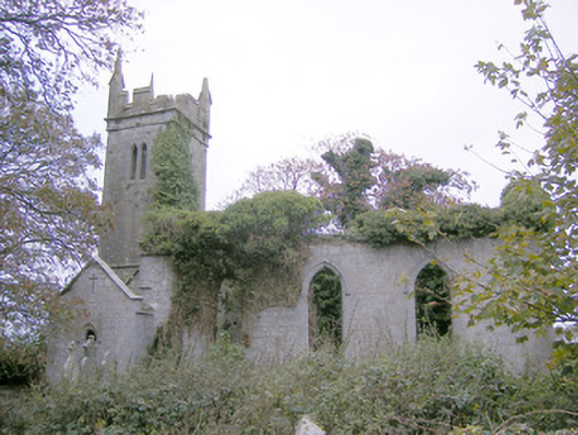 Ballycahane Churchchurch/chapel · 690 yd
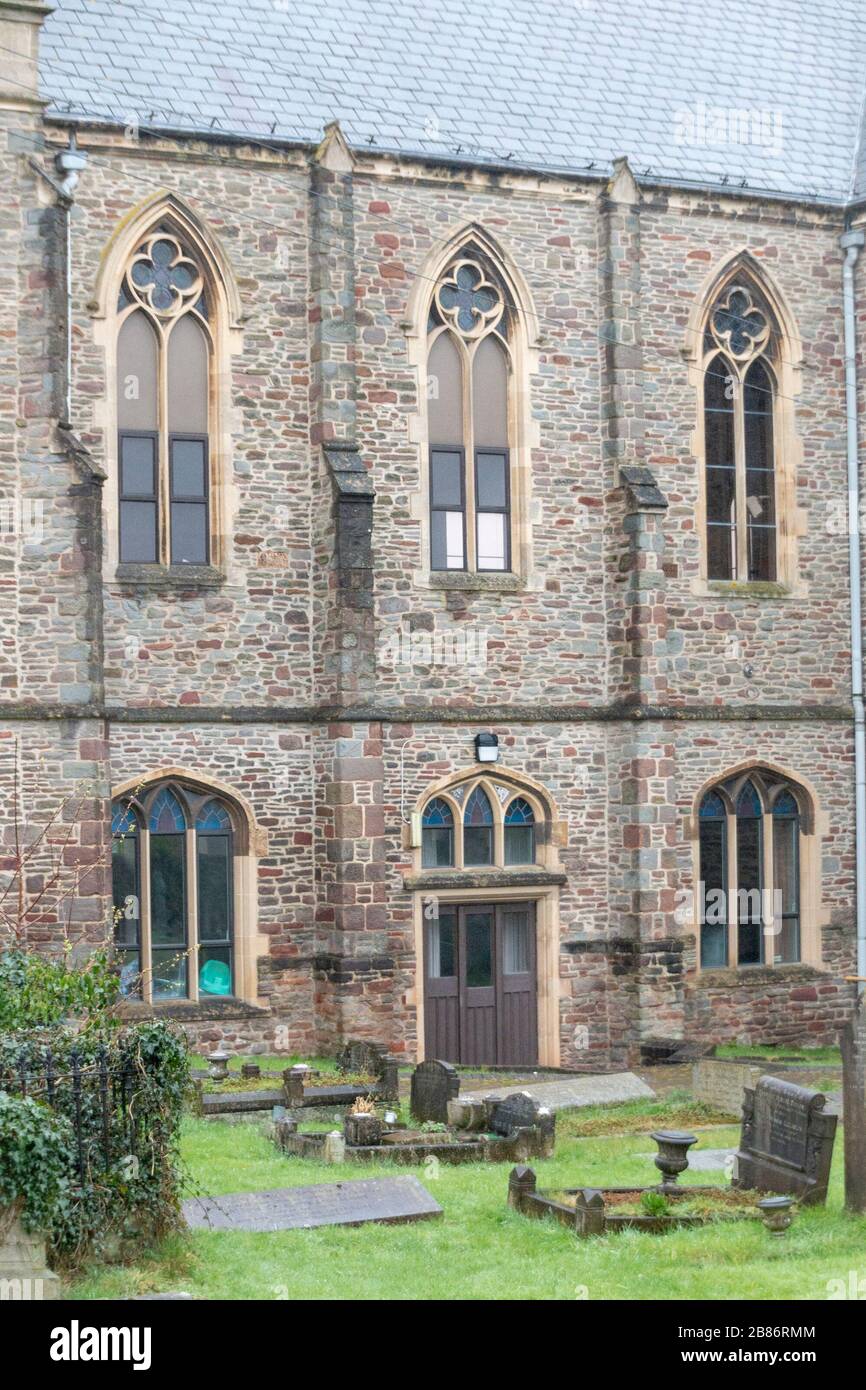 Grave YardGraveyard · 701 yd
 Castle (in ruins)Castle, hall-house · 746 yd
 Maryville Housecountry house · 1273 yd
 Ballinveala Castle (in ruins)Castle, tower house · 1.1 mi
 European ashEuropean ash · 1.4 mi
 Villiers WellSpring · 1.6 mi
 Monasteranenagh AbbeyHeritage attraction · 2.8 mi
 Biodiversity in the Maigue CatchmentVisitor information · 3.3 mi
 Dysert AenghusaHeritage attraction · 4.0 mi
 European YewEuropean Yew · 4.6 mi