What is recorded here
Fairy fort in Ballycahane Lower is an oval earthwork 18 metres north-south and 22.4 metres east-west, marked by a scarped edge and partial external fosse in undulating pasture. Two other enclosures sit within 50 metres, suggesting a small clustered settlement rather than a lone display. The gentle eastern slope and surviving drainage lines hint that people lived, worked and moved water through this place long before the field took it back.
In undulating pasture with moderate views in all directions. Enclosure (LI022-070----) located 40m to SW, second enclosure (LI022-072----) 50m to SE. Surveyed by ASI in 2000 and described as an oval-shaped area (18m N-S; 22.4m E-W) defined by a scarped edge (Wth 3m; H 0.55m) with an external fosse (H 0.3m; base Wth 1.7m) visible from E to SE and SW to W. Relict field drains intersect at S. Undulating interior slopes gently to E. The outline of the partially overgrown monument is visible on Google Earth orthoimage taken 28/06/2020.
See attached sketch plan drawn and surveyed by ASI and Google earth orthoimage 28/06/2020
Compiled by: Martin Fitzpatrick
Date of upload: 28 July 2020
The monument record does not grant public access. Check the route and ask the landowner before entering private land.
- What survives
- Recorded monument
Places near here
 Enclosure in Ballycahane LowerEnclosure · 240 yd
 Hearth in Ballycahane LowerHearth · 315 yd
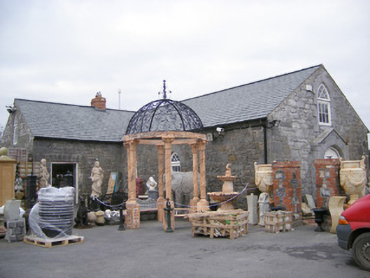 Old School Housechurch/chapel · 1386 yd
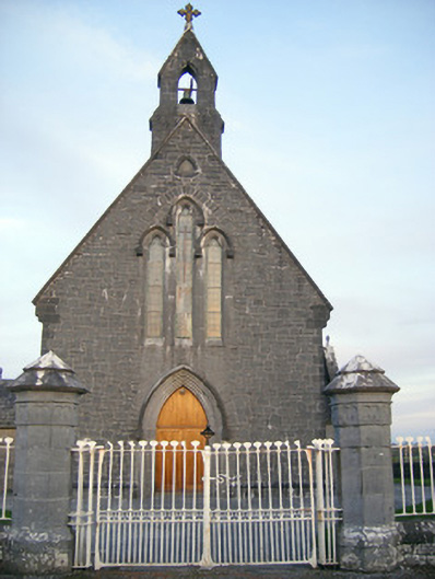 Catholic Church of Saint Peter and Saint Paulchurch/chapel · 1443 yd
 Ballinveala Castle (in ruins)Castle, tower house · 1.1 mi
 Castle (in ruins)Castle, hall-house · 1.1 mi
 Villiers WellSpring · 1.4 mi
 Monasteranenagh AbbeyHeritage attraction · 3.5 mi
 Biodiversity in the Maigue CatchmentVisitor information · 3.8 mi
 European ashEuropean ash · 4.1 mi
 Dysert AenghusaHeritage attraction · 4.5 mi
 European YewEuropean Yew · 4.6 mi