What is recorded here
Three earthen banks still circle Ballybrowney Lower, pierced by gaps and causeways that invite entry rather than warn against it. The ringfort sits on a gentle slope above the Bride river, its outer bank fading into a field fence to the east. A rectangular structure formed by radial banks at the north-east may have been a chapel, but the main fort remains a place of lived human choice: build a boundary, leave holes in it, and trust the causeway to carry people through.
In tillage on gentle SE-facing slope, overlooking Bride river. Circular area (38m N-S; 38.5m E-W) defined by three earthen banks with intervening fosses. Inner bank (int. H 0.8m; ext. H 1.3m) and middle bank (H 1.6m) pierced by gaps to N (Wth 6m inner bank; 4m middle bank) and ESE (Wth 5m inner bank; 8m middle bank), with causeways; gap in inner bank (Wth 5m) toW. Outer bank survives S->NW; replaced by field fence to E. To NNE, two radial banks run across gap between inner and middle bank, forming with the ringfort banks a rectangular structure (7.5m x 6.5m) pierced by gap (Wth 2.5m) cut through middle bank; possibly remains of R.C. chapel marked as 'site of' on 1842 OS 6-inch map.
The above description is derived from the published 'Archaeological Inventory of County Cork. Volume 2: East and South Cork' (Dublin: Stationery Office, 1994). In certain instances the entries have been revised and updated in the light of recent research.
Date of upload/revision: 14 January 2009
The monument record does not grant public access. Check the route and ask the landowner before entering private land.
- What survives
- Recorded monument
Places near here
 KilnKiln, corn-drying · 82 yd
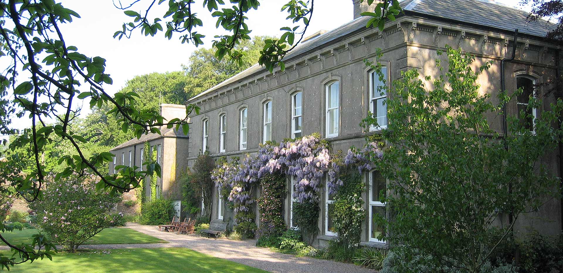 Enclosure in Ballybrowney LowerEnclosure · 125 yd
 ExcavationExcavation, miscellaneous · 254 yd
 Ballybrowney Bridgebridge · 798 yd
 Tower (in Ruins)Bawn · 1.8 mi
 Castle (in Ruins)Castle, unclassified · 2.0 mi
 Rathcormac massacremassacre · 2.3 mi
 Devonshire's HillMountain / peak · 3.0 mi
 Cappagh XViewpoint · 3.4 mi
 Coolmucy WoodWood · 3.4 mi
 Corrin WoodsWood · 3.4 mi
 Graveyard in Killuntin NorthGraveyard · 3.9 mi