What is recorded here
Fairy forts are earthen rings, often called raths, that dotted Irish landscapes before ploughs and roads smoothed them away. In Ballybrown, one such ring stood in level pasture, about thirty metres across, its bank a clear circle on the 1923 map. Then the land was tidied, the boundary lines vanished, and the fort disappeared entirely. What remains is a absence so complete it becomes a room of its own: large enough to walk through, with no walls to show where the passage ran.
In level pasture. Monument, depicted on 1923 OS 6-inch map as embanked circular enclosure (diam. c. 30m), has been levelled. No trace of monument evident when inspected. Field boundaries have been removed in vicinity of site.
Compiled by: Denis Power
Date of upload: 26 August 2011
The monument record does not grant public access. Check the route and ask the landowner before entering private land.
- What survives
- Recorded monument
Places near here
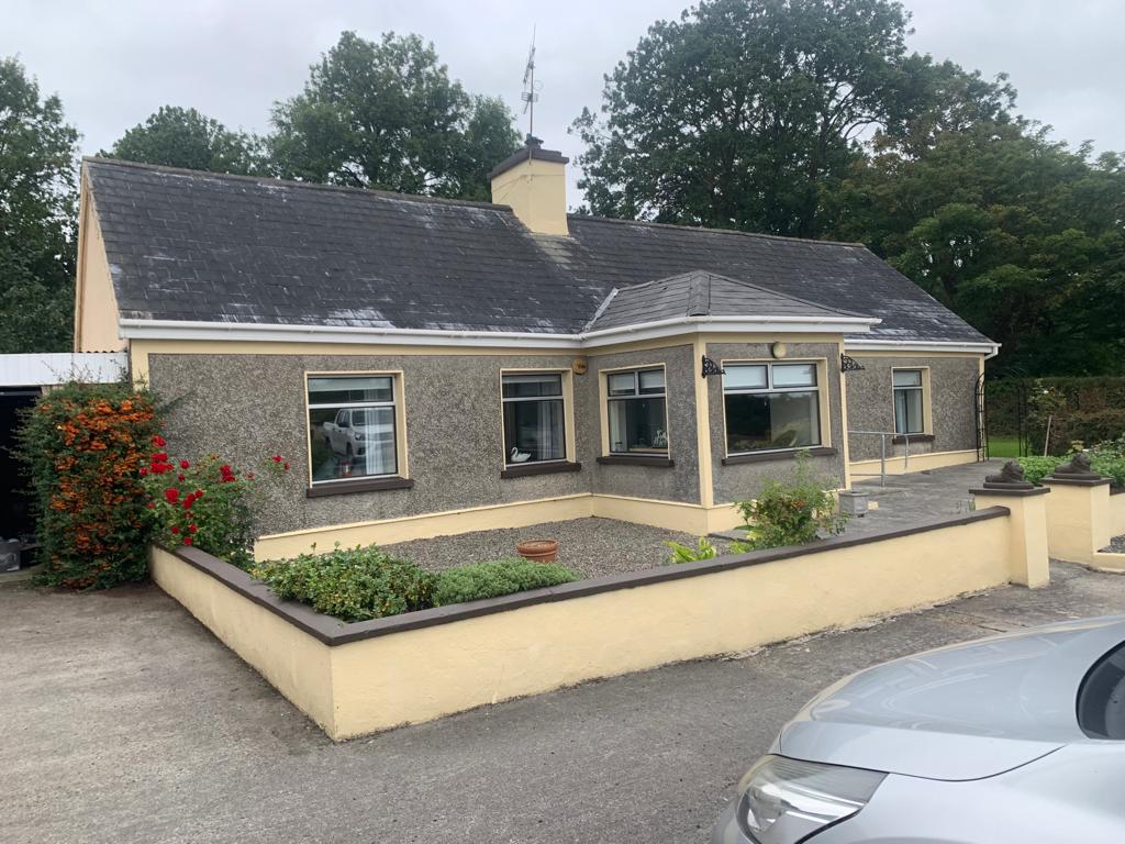 Lisgoura -HachuredEnclosure · 314 yd
 Anomalous stone group in Ballybrown (connello Lower By.)Anomalous stone group · 314 yd
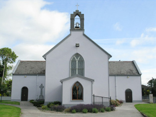 Saint Munchin's Catholic Churchchurch/chapel · 673 yd
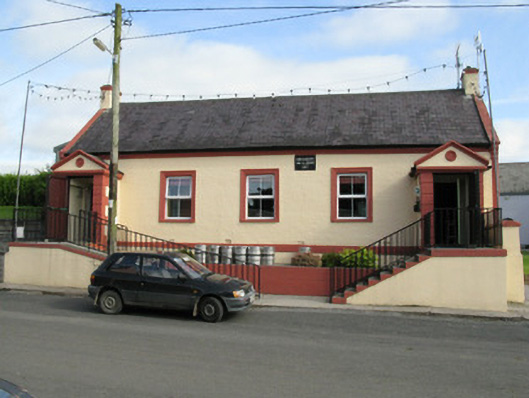 Knockaderry Hall and Libraryhall · 717 yd
 European ashEuropean ash · 1.2 mi
 CastleCastle, tower house · 1.2 mi
 LaghtpatrickSpring · 1.3 mi
 Lady's WellSpring · 1.9 mi
 Ballynoe Castle (in ruins)Castle, tower house · 2.0 mi
 Limerick GreenwayWalking route · 7.8 mi
 Ballagh MountainMountain / peak · 8.8 mi
 Sugar HillMountain / peak · 9.1 mi