What is recorded here
Fairy forts are not fairy forts. They are human ringforts, misnamed because people stopped remembering the humans who built them. Ballybrown is one of them: a 56-metre circle of earth and ditch, half swallowed by bracken and irises, set where pasture drops into marsh. The field boundary cut through its northern edge, which means it stood long enough to become ordinary, then was forgotten completely.
In rough pasture, near base of W-facing slope into marshy area. Circular area (diam. 56m) enclosed by earthen bank (int. H 0.7m; ext. H 1.65m) with external fosse (D 0.65m; Wth 1.8m); both heavily masked by bracken. Bank, best preserved along W side, lowers at S (ext. H 0.5m). Fosse, best preserved S->W, has trace of counterscarp bank along outer edge at W (ext. H 0.3m). Field boundary, travelling on E-W axis, truncates enclosing element at N. Interior, mainly covered with flag irises, has slightly raised sub-rectangular area (26m N-S; 36m E-W) in SE quadrant covered with bracken.
Compiled by: Denis Power
Date of upload: 26 August 2011
The monument record does not grant public access. Check the route and ask the landowner before entering private land.
- What survives
- Recorded monument
Places near here
 Anomalous stone group in Ballybrown (connello Lower By.)Anomalous stone group · 373 yd
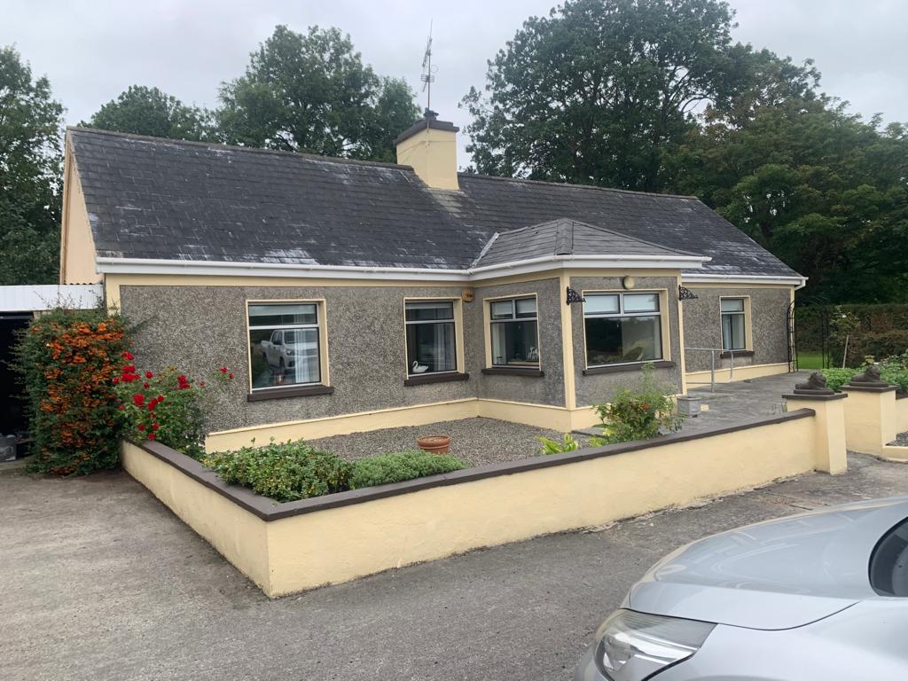 Lisgoura -HachuredEnclosure · 421 yd
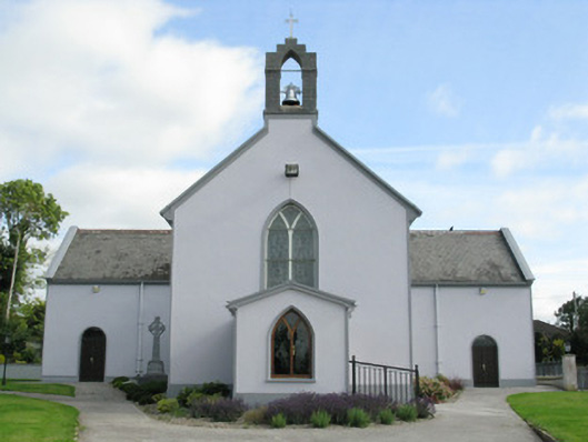 Saint Munchin's Catholic Churchchurch/chapel · 1095 yd
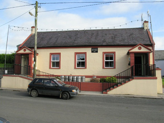 Knockaderry Hall and Libraryhall · 1139 yd
 European ashEuropean ash · 1493 yd
 CastleCastle, tower house · 1548 yd
 LaghtpatrickSpring · 1.5 mi
 Lady's WellSpring · 2.1 mi
 Ballynoe Castle (in ruins)Castle, tower house · 2.3 mi
 Limerick GreenwayWalking route · 7.8 mi
 Ballagh MountainMountain / peak · 9.0 mi
 Sugar HillMountain / peak · 9.1 mi