What is recorded here
Fairy fort and fact castle in Ballybailie, County Louth. A circular shadow thirty-five metres wide marks the buried fort, its single unbroken ditch still drawing the eye across open ground. People may have lived there, resisted there, or abandoned it when the land changed; the ditch remains the clearest witness. What is missing is not the shape but the years, the hands and the reason it stopped being used.
Situated in a slight dip in a gently undulating landscape. The cropmark of a circular area (int. diam. c. 35) defined by a single continuous fosse feature is visible on Google Earth (12/07/2013). It was first reported by Anthony Murphy, and it is also visible on OSI Images (2000, 2005, 2018) and Digitalglobe (2013).
See the attached image from Google Earth (12/07/2013)
Compiled by: Michael Moore
Date of upload: 11 June 2019
The monument record does not grant public access. Check the route and ask the landowner before entering private land.
- What survives
- Recorded monument
Places near here
 Enclosure in GreenlaneEnclosure · 993 yd
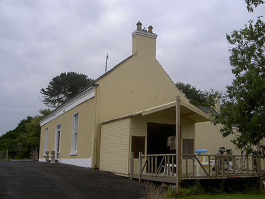 Mullacloe Housefarm house · 1065 yd
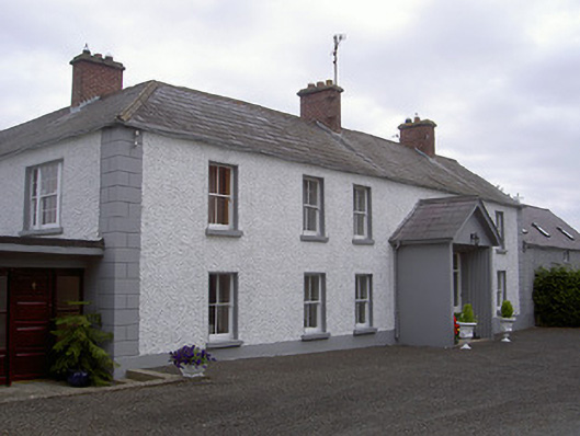 Streamstown Househouse · 1084 yd
 European BeechEuropean Beech · 1194 yd
 English hollyEnglish holly · 1195 yd
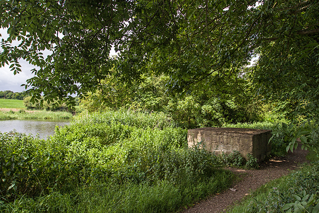 Enclosure in MullacloeEnclosure · 1600 yd
 The LissCastle, motte · 1704 yd
 Site of Mullanstown CastleCastle, unclassified · 1.0 mi
 Sir Frederick Foster MemorialMemorial · 1.3 mi
 Graveyard in StickillinGraveyard · 1.9 mi
:no_upscale()/cdn.vox-cdn.com/uploads/chorus_asset/file/25593391/County_Louth_6th.jpg) LouthMountain / peak · 4.8 mi
LouthMountain / peak · 4.8 mi Mount OrielMountain / peak · 6.0 mi