What is recorded here
Situated on a NW-facing slope in gently undulating pastureland. Depicted on the 1st (1840) ed. OS 6-inch map as a roughly circular enclosure with a N-S field boundary abutting the site at N and S. Shown on the 2nd ed. OS 6-inch map as a hachured circle with trees growing around the bank. The site appears as a cropmark on an aerial photograph taken in 1973 (GSIAP, R 96/5/4). Although now levelled the outline of this roughly circular site (diam. c. 44.5m) is visible as a barely perceptible low bank and shallow fosse.
The above description is derived from 'The Archaeological Inventory of County Tipperary. Vol. 1 - North Tipperary' compiled by Jean Farrelly and Caimin O'Brien (Dublin: Stationery Office, 2002). In certain instances the entries have been revised and updated in the light of recent research.
Date of upload/revision: 22 September 2008
A fairy fort or earthen ringfort in Ballyanny Lower is a likely early-medieval defensive or agricultural site, characterized by a circular enclosure. Local tradition associates such sites with fairy folklore, and they were often considered places of supernatural significance in Irish tradition.
The monument record does not grant public access. Check the route and ask the landowner before entering private land.
- What survives
- Recorded monument
Places near here
 Knigh Church (in Ruins)Church · 460 yd
 Knigh Castle (in ruins)Castle, tower house · 834 yd
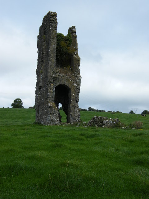 Knigh CastleCastle · 835 yd
 Enclosure in LoughournaEnclosure · 1156 yd
 Hillfort in KnighHillfort · 1489 yd
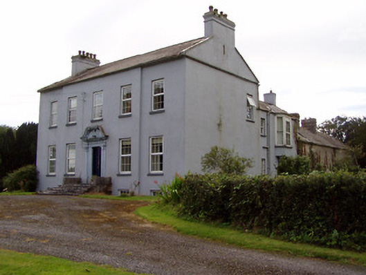 Lisduffhouse · 1.1 mi
 Knigh HillMountain / peak · 1.2 mi
 Old BarracksHeritage attraction · 2.8 mi
 Nenagh Heritage CentreMuseum · 2.9 mi
 James Devaney MemorialMemorial · 3.1 mi
 Goose IslandIslet · 3.2 mi
 Dromineer BayBay · 3.7 mi