What is recorded here
That is the largest circle available. It contains the exact facts and must exclude every new claim.
Cropmark of fosse and traces of inner bank of circular enclosure (diam. c. 30m) visible in aerial photograph (CUCAP; AYP96, July 1969); trace of second concentric outer fosse NNW->S. Ringfort (CO025-037---) c. 50m to SE; possible ringfort (CO025-036---) c. 30m to SW.
The above description is derived from the published 'Archaeological Inventory of County Cork. Volume 4: North Cork' (Dublin: Stationery Office, 2000). In certain instances the entries have been revised and updated in the light of recent research.
Date of upload/revision: 14 January 2009
The monument record does not grant public access. Check the route and ask the landowner before entering private land.
- What survives
- Recorded monument
Places near here
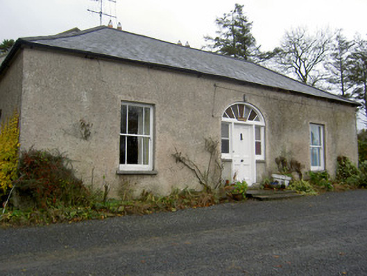 Hermitagehouse · 289 yd
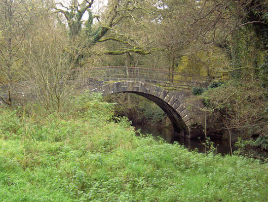 Doneraile Courtfoot bridge · 365 yd
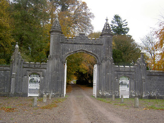 Creagh Castlegates/railings/walls · 485 yd
 Pedunculate OakPedunculate Oak · 602 yd
 Scots PineScots Pine · 856 yd
 ToberasoolHoly well · 1015 yd
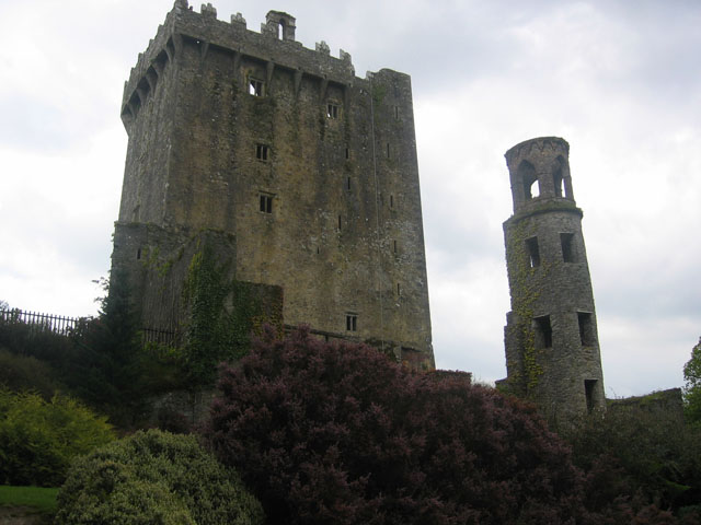 TurretDovecote · 1030 yd
 Doneraile HouseHeritage attraction · 1329 yd
 Doneraile Castle (Site of)Castle, unclassified · 1633 yd
 Smith's WellSpring · 1.4 mi
 Caherduggan Castle (Site of)Castle, unclassified · 2.7 mi
 Blackwater (Avondhu) WayWalking route · 7.8 mi