What is recorded here
No. Of waria is an earthen ringfort in Ballyandrew, County Cork, Ireland. It is a circular enclosure about twenty metres across on a gentle west-facing slope. The 1842 Ordnance Survey map still shows its hachured lines, although barley now grows where the fort stood. People nearby still call it the fairy fort, keeping the old name alive in ordinary speech.
In tillage, on gentle W-facing slope. Depicted as hachured circular enclosure (diam. c. 20m) on 1842 OS 6-inch map; interior planted. Levelled; mature crop of barley in field; known locally as site of fort. Circular enclosure (CO025-150---) c. 30m to NE.
The above description is derived from the published 'Archaeological Inventory of County Cork. Volume 4: North Cork' (Dublin: Stationery Office, 2000). In certain instances the entries have been revised and updated in the light of recent research.
Date of upload/revision: 14 January 2009
The monument record does not grant public access. Check the route and ask the landowner before entering private land.
- What survives
- Recorded monument
Places near here
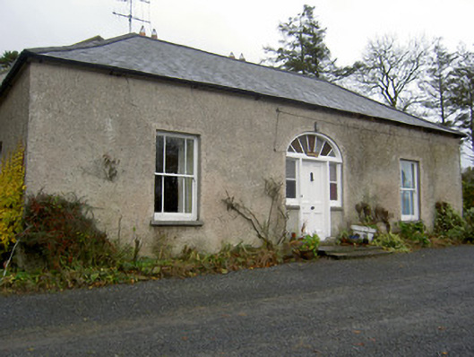 Hermitagehouse · 223 yd
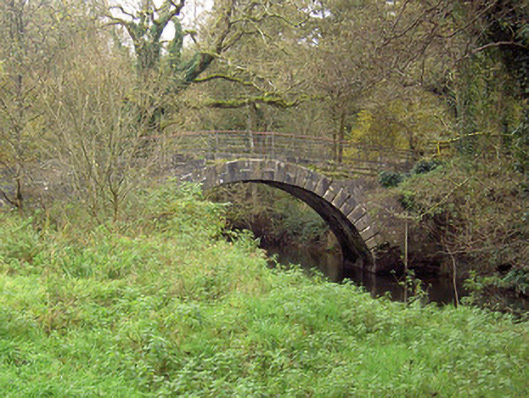 Doneraile Courtfoot bridge · 432 yd
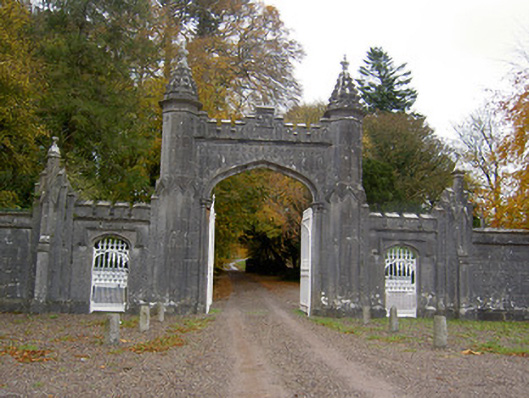 Creagh Castlegates/railings/walls · 543 yd
 Pedunculate OakPedunculate Oak · 667 yd
 Scots PineScots Pine · 820 yd
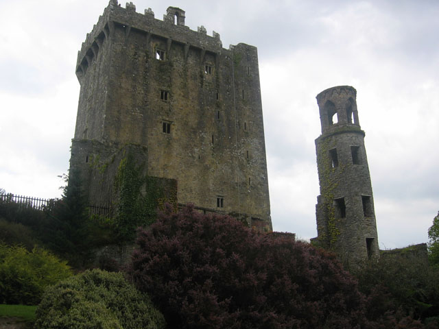 TurretDovecote · 967 yd
 ToberasoolHoly well · 996 yd
 Doneraile HouseHeritage attraction · 1360 yd
 Doneraile Castle (Site of)Castle, unclassified · 1675 yd
 Smith's WellSpring · 1.4 mi
 Caherduggan Castle (Site of)Castle, unclassified · 2.6 mi
 Blackwater (Avondhu) WayWalking route · 7.8 mi