What is recorded here
Fairy fort in Ballyallinan South is an oval earthen ringfort, 25.6 metres across, with a broken bank and faint outer ditch on a gentle southeast-facing slope. Its wide eastern top and scattered interior stones suggest people lived, worked or excluded others inside the ridge long before the field boundary swallowed part of it. The gap in the west bank still points to an entrance, while the surviving earth keeps the shape of a small defensible world buried under pasture.
In rough undulating pasture, on gentle SE-facing slope. Oval area (22.8m N-S; 25.6m E-W) enclosed by earth-and-stone bank (int. H 1.85m; ext. H 2.85m), with external fosse (D 0.3m; Wth 2m) NW->SSE. Bank, best preserved N->SW, incorporated into field boundary system SSE->SW. Fosse, best preserved NW->NE, but barely perceptible NE->E. Break in bank (Wth 6.3m) at WNW. Top of bank widens (Wth 2.6m) along E side with internal stone revetment (H 0.45m) at ENE. Uneven interior, under rough pasture, is littered with loose stones.
Compiled by: Denis Power
Date of upload: 26 August 2011
The monument record does not grant public access. Check the route and ask the landowner before entering private land.
- What survives
- Recorded monument
Places near here
 European ashEuropean ash · 506 yd
 St. Bernards WellHoly well · 510 yd
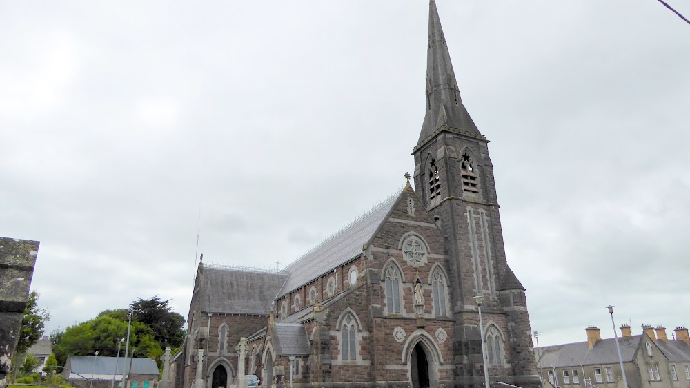 Church (in Ruins)Church · 511 yd
 CastleCastle, tower house · 689 yd
 Anomalous stone group in Ballybrown (connello Lower By.)Anomalous stone group · 1323 yd
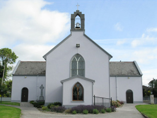 Saint Munchin's Catholic Churchchurch/chapel · 1.2 mi
 LaghtpatrickSpring · 1.8 mi
 Lady's WellSpring · 2.5 mi
 Glebe CastleCastle · 2.5 mi
 Limerick GreenwayWalking route · 8.0 mi
 Sugar HillMountain / peak · 9.4 mi
 Ballagh MountainMountain / peak · 9.6 mi