What is recorded here
A circular earthen bank, roughly 50 metres across, still stands in Ballyallinan South pasture, its outer edge rising 2.2 metres above a marshy ditch that widens to 5.6 metres where the land slopes south. Vegetation has strangled most of the ditch and buried the inner bank, but the eastern and western curves remain sharp enough to mark the boundary of a small, forgotten enclosure. The name “fairy fort” suggests people once saw the shape as belonging elsewhere, yet the solid earth and stone counterscarp point to human hands shaping the hillside long before the field was divided.
In pasture, on gentle N-facing slope, near base of hill. Circular area (diam. c. 50m) enclosed by earthen bank (int. H 1.25m; ext. H 2.2m) with external fosse (D 1.6m; Wth 2.2m); both heavily masked by vegetation overgrowth. Bank is best preserved ESE->NW, and incorporated into field boundary ESE->S. Fosse is marshy and widest (Wth 5.6m) ESE->S; counterscarp earth-and-stone bank (ext. H 0.55m) runs along outer edge NW->ESE. Small paddock adjoins at NW. Level interior covered by dense overgrowth but there is a small clearing near centre.
Compiled by: Denis Power
Date of upload: 26 August 2011
The monument record does not grant public access. Check the route and ask the landowner before entering private land.
- What survives
- Recorded monument
Places near here
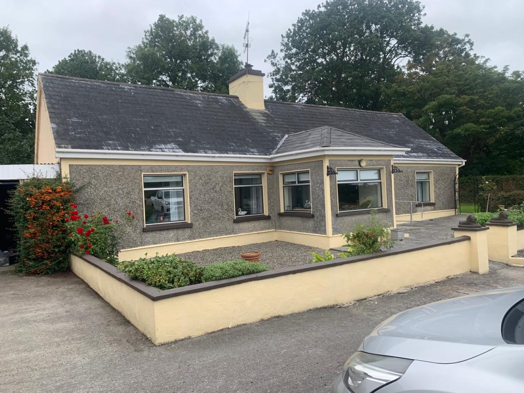 Lisgoura -HachuredEnclosure · 599 yd
 Hut site in KnockaderryHut site · 807 yd
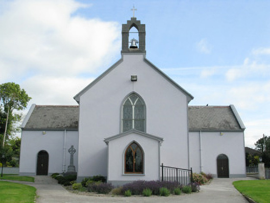 Saint Munchin's Catholic Churchchurch/chapel · 943 yd
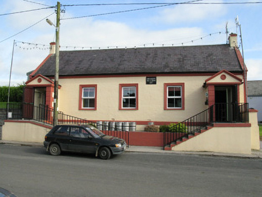 Knockaderry Hall and Libraryhall · 973 yd
 CastleCastle, tower house · 1656 yd
 European ashEuropean ash · 1713 yd
 LaghtpatrickSpring · 1.8 mi
 Ballynoe Castle (in ruins)Castle, tower house · 2.4 mi
 Lady's WellSpring · 2.4 mi
 Limerick GreenwayWalking route · 7.4 mi
 Sugar HillMountain / peak · 8.8 mi
 Ballagh MountainMountain / peak · 8.8 mi