What is recorded here
Fairy forts are not for us. They belong to the hidden people, the ones who do not show themselves but watch the edge of the world. We may look at them, walk past them, remember them. We must not break them, dig into them or treat them as ordinary dirt. Some places are not dead. They are waiting.
In pasture, on S-facing slope. Circular area (28m NE-SW) enclosed by earthen bank (H 3m) stone-faced internally to SW; external fosse (D 0.5m) S->NNE; second bank (H 1.4m) S->NW. Gap in bank to E.
The above description is derived from the published 'Archaeological Inventory of County Cork. Volume 1: West Cork' (Dublin: Stationery Office, 1992). In certain instances the entries have been revised and updated in the light of recent research.
Date of upload/revision: 14 January 2009
The monument record does not grant public access. Check the route and ask the landowner before entering private land.
- What survives
- Recorded monument
Places near here
 Sea Courtcountry house · 401 yd
 Kilsillagh Church (in Ruins)Church · 826 yd
 Kill Burial Gd for ChildrenBurial ground · 1290 yd
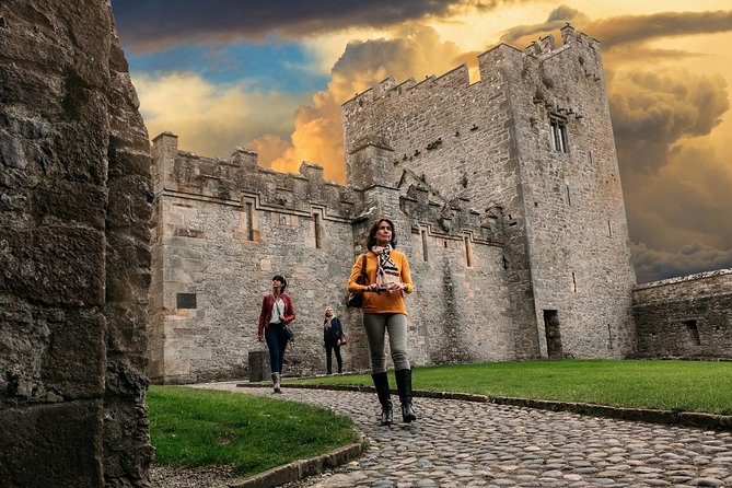 Rock Castle (in Ruins)Castle, tower house · 1575 yd
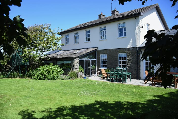 IndicatedPromontory fort, coastal · 1598 yd
 Cave DunworleyViewpoint · 1.0 mi
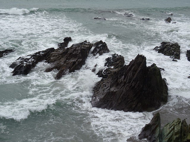 Dunworly BeachBeach / strand · 1.0 mi
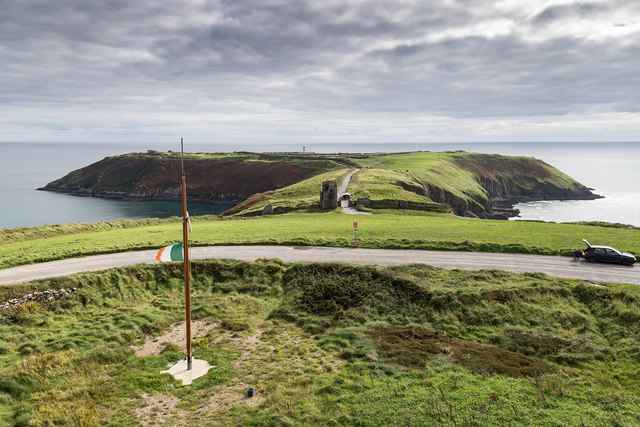 Signal Tower ViewViewpoint · 1.6 mi
 Dunworly CastleCastle · 1.6 mi
 Dunworly PointHeadland · 1.8 mi
 War MemorialMemorial · 2.1 mi
 HDS walk Coolim CliffsHeritage attraction · 2.2 mi