What is recorded here
In improved pasture; evidence of old water channels. Circular area (dims. 28m N-S; c. 30m E-W) defined by low bank (Wth 4.65m; int. H 0.2m; ext. H 1.6m) NE-E and at SSW and by a scarp (Wth 3.2m; H 1.8m) elsewhere; obscured by briars E-SE. Breach (Wth 0.8m) cut into bank at ENE for drainage. Fosse (basal Wth 2.25-2.5m; overall Wth 7.05-7.25m; D 0.8-0.9m) is waterlogged except where it is partially backfilled NNW-N. Fosse breached (Wth 5m) on exterior at NNW where drainage channel (long axis NNW-SSE) enters. Interior slightly uneven. Field boundary respects monument to SSE.
Compiled by: Jean Farrelly
Date of upload: 26 August 2011
The monument record does not grant public access. Check the route and ask the landowner before entering private land.
- What survives
- Recorded monument
Places near here
 Enclosure in Ballynahow (bruis Par.)Enclosure · 839 yd
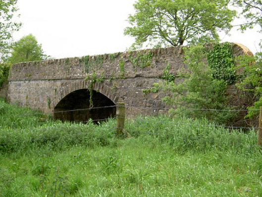 Bohereenbuee Bridgebridge · 1226 yd
 Site of CastleCastle, unclassified · 1319 yd
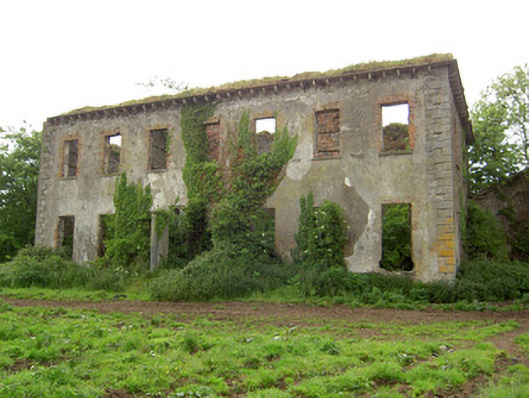 Roesborough Housecountry house · 1418 yd
 CrossCross, High cross · 1525 yd
 MoatCastle, motte · 1.7 mi
 The Maid of ErinMemorial · 2.1 mi
 Bansha ForestForest · 2.9 mi
 SlievenamuckMountain / peak · 3.1 mi
 The RockViewpoint · 3.3 mi
 Glen of AherlowViewpoint · 3.4 mi
 Christ the KingViewpoint · 3.4 mi