What is recorded here
Fairy fort / earthen ringfort in Ballinunty (Kilcooly parish) is a fairy fort or earthen ringfort in Ballinunty (Kilcooly parish), County Tipperary, Ireland. The circular earthwork holds a 26-metre interior and stands on a south-east-facing slope of a low hillock in undulating upland country. Its surviving outer bank and shallow ditch appear on the upslope from west to north, while the downslope from east to south no longer shows them.
In grassland situated on a SE-facing slope of low hillock just below summit of hillock in undulating upland region with good extensive views in all directions. Ringfort consists of a slightly raised circular area (int. diam. 26m N-S; 26m E-W) enclosed by an earth and stone bank (base Wth 4.5m; top Wth 2m; int. H 0.2m; ext. H 0.6m) and shallow outer fosse (base Wth 1.3m; top Wth 2.6m; ext. D 0.1m ) with possible remains of a much degraded outer bank (Wth 3m ext. H 0.1m) visible on S side only with possible entrance gap (Wth 4m) at SE. Small quarry hole located in NE quadrant of interior (dims. 2.5m x 8m; D 0.5m). External bank and fosse visible on the upslope only from W to N only and not visible on the downslope from E to S.
Compiled by: Jean Farrelly
Date of upload: 26 August 2011
The monument record does not grant public access. Check the route and ask the landowner before entering private land.
- What survives
- Recorded monument
Places near here
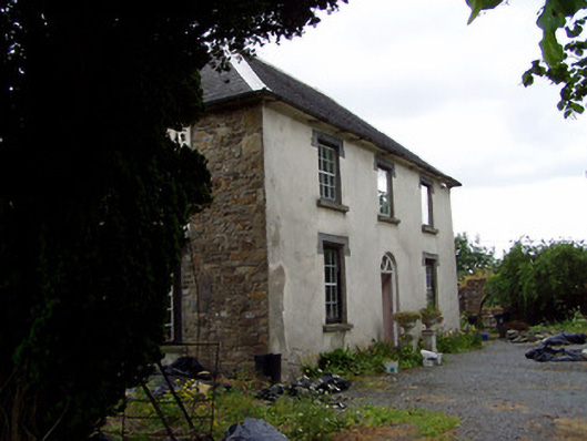 Hill View Househouse · 572 yd
 Enclosure in TullequaneEnclosure · 590 yd
 Water millWater mill, unclassified · 592 yd
 Ladys WellHoly well · 861 yd
 Waterloo HillMountain / peak · 1208 yd
 CastleCastle, ringwork · 1.1 mi
 Bog Castle (in Ruins)Castle, unclassified · 1.7 mi
 Slieveardagh Heritage CentreVisitor information · 1.8 mi
 Derrynaflan TrailHeritage attraction · 2.3 mi
 Gobban Saer's GraveArchaeological place · 3.2 mi
 Eagle HillMountain / peak · 3.5 mi
 Horse and JockeyVisitor information · 4.4 mi