What is recorded here
Fairy fort / earthen ringfort in Ballinulty is a fairy fort or earthen ringfort in Ballinulty, County Tipperary, Ireland. The roughly circular site measures 28 metres north-south and 26 metres east-west, with an internal earthen bank 8.1 metres wide and 0.9 metres high externally. A possible annexe abuts the external bank from southeast to southwest, while the internal bank is absent from northeast to south-southwest, where an earthen scarp defines the edge instead.
On a slight SE-facing slope in gently undulating pasture with a possible annexe (TS058-051002-) immediately to the S. Roughly circular raised area (dims. 28m N-S; 26m E-W) defined by an internal low broad earthen bank (overall Wth 8.1m; Wth at top 2m; int. H 0.1m; ext. H 0.9m). At the external base of the bank is a wide flat-bottomed fosse (Wth at base 2m; D 0.15m) and a low broad external earthen bank (overall Wth 7.6m; Wth at top 2m; int. H 0.3m; ext. H 0.15m). From NE-SSW the internal bank is absent and the site is defined by an earthen scarp (Wth. 4m; ext. H 0.8m). The fosse is mostly infilled and the external bank is absent NE-SSW. The original entrance is not recognisable. The interior slopes slightly facing SE and is clear of overgrowth. A possible annexe (TS058-051002-) abuts the external face of the external bank SE-SW.
Compiled by: Jean Farrelly
Date of upload: 26 August 2011
The monument record does not grant public access. Check the route and ask the landowner before entering private land.
- What survives
- Recorded monument
Places near here
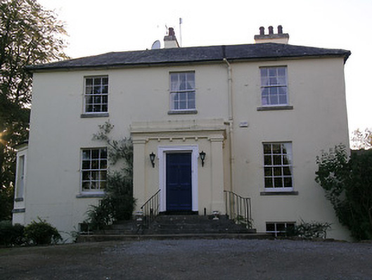 Beechwood Houserectory/glebe/vicarage/curate's house · 1075 yd
 RathduffCastle, ringwork · 1496 yd
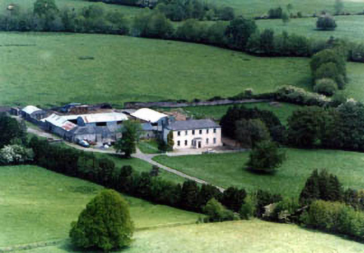 Ballinardhouse · 1584 yd
 Site of Cullen CastleCastle, unclassified · 1.1 mi
 Patricks WellHoly well · 1.1 mi
 Fulacht fia in GortnabarnanFulacht fia · 1.1 mi
 Oola HillMountain / peak · 2.1 mi
 SlievenamuckMountain / peak · 5.1 mi
 ToberagaddySpring · 5.2 mi
 Bansha ForestForest · 5.5 mi
 Carn (site of)Cairn, burial cairn · 5.5 mi
 St Patrick's WellSpring · 7.7 mi