What is recorded here
No visible gate, no marked centre, no claim that it is anything but a ring of earth and stone on a sloping field. That refusal is the shape of the place: a border drawn without explanation, waiting to be entered or overlooked.
On a SE-facing slope in pasture. A raised subcircular area (34m N-S; 32m E-W) enclosed by a substantial bank of earth and stone (Wth 5-5.2m; H 1.1m) and a shallow external fosse (Wth 5m; D 0.5m), which is identifiable only from E-S-W. A report in 1975 (SMR file) recorded traces of a low outer bank at E and a possible house site (LF006-062002-) in the SW quadrant of the interior, just inside the bank. Neither of these features is visible at ground level. The original entrance is not recognisable.
Compiled by: Patrick F. O'Donovan
Date of upload: 26 August 2011
The monument record does not grant public access. Check the route and ask the landowner before entering private land.
- What survives
- Recorded monument
Places near here
 Dunclá or Black Pigs RaceArchaeological place · 452 yd
 Enclosure in RathbrackanEnclosure · 1465 yd
 Church in Clogh (granard By.)Church · 1496 yd
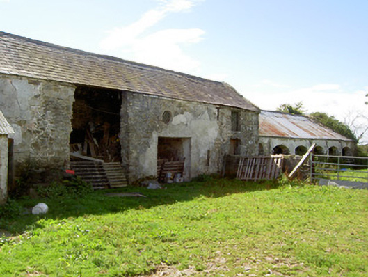 Dalystown Houseoutbuilding · 1.2 mi
 Derrycassan WoodsWood · 1.2 mi
 InchmoreIslet · 1.6 mi
 BawnBawn · 2.2 mi
 1798 Monumentmonument · 2.7 mi
 Granard MotteMotte-and-bailey castle remains · 2.7 mi
 CastleCastle, unclassified · 2.8 mi
 ToomeMountain / peak · 3.0 mi
 CartronfreeMountain / peak · 3.1 mi