What is recorded here
Situated on a rise, surrounded by grassland with commanding views of the surrounding countryside. Ringfort (WM011-117---) 350m to NW. Ringfort (WM011-119----) 380m to NE. A large, raised roughly circular-shaped area (approx. diam 46m E-W) enclosed by a poorly preserved earthen bank and a wide external fosse. The inner bank has several disturbance gaps, and the fosse is best preserved at S & E. There is an entrance gap at NE and causeway (Wth 5.7m; H 1m) across the fosse. The interior rises towards the centre, where a hay-shed has been built and occupies most of the NW side interior which is clearly visible on Digital Globe aerial photograph taken November 2011. A large perforated stone is visible in the SE quadrant. Field fences intersect the monument at NNW & S.
See attached profile of monument surveyed and drawn by the ASI.
Compiled by: Frank Coyne and Caimin O'Brien
Date of upload: 28 August 2017
A fairy fort or earthen ringfort in Ballintue is a likely early-medieval agricultural or defensive site, characterized by a large, raised, roughly circular earthwork. Local tradition associates such mounds with fairy dwellings, reflecting the enduring folklore surrounding these ancient monuments.
The monument record does not grant public access. Check the route and ask the landowner before entering private land.
- What survives
- Recorded monument
Places near here
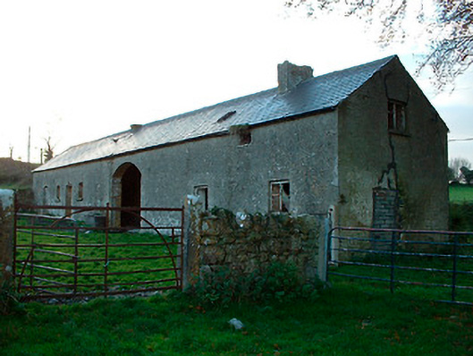 outbuildingoutbuilding · 390 yd
 Hut site in BallintueHut site · 433 yd
 Penitential station in Laragh (moygoish By.)Penitential station · 460 yd
 CastleCastle, tower house · 489 yd
 CrossCross, High cross · 703 yd
 Partially hachuredCastle, ringwork · 1123 yd
 Baronstown ForestWood · 2.3 mi
 Ancient Ring FortWood · 2.4 mi
 Craft WorkshopHeritage attraction · 7.4 mi
 Guest ServicesVisitor information · 7.5 mi
 Newcastle WoodsForest · 8.2 mi
 National Famine WayWalking route · 11 mi