What is recorded here
Fairy fort / earthen ringfort in Ballintogher (Graystown parish) is a fairy fort or earthen ringfort in Ballintogher (Graystown parish), County Tipperary, Ireland. The earth and stone bank encloses a raised area measuring about 36 metres north to south and 48 metres east to west. A wide flat-bottomed ditch runs outside the bank, and a two-metre gap appears in the northern section. Trees and vegetation cover most of the interior, limiting clear view to the northern and eastern parts.
On a low hillock in grassland with good views in all directions with stream immediately to the S and E. Heavily overgrown but impressive ringfort consisting of a raised circular area (approx. int. diam. 36m N-S; 48m E-W) enclosed by an earth and stone bank (base Wth 3m; top Wth 1.2m; int. H 0.3m; ext. H 1.6m) and wide flat-bottomed outer fosse (base Wth 2-4m; top Wth 1-2m; ext. D 1m). Cattle gap (Wth 2m) in bank at N. Only able to examine the interior from N to E elsewhere the ringfort is totally covered in trees and vegetation. Bank and fosse best preserved at N.
Compiled by: Jean Farrelly
Date of upload: 26 August 2011
The monument record does not grant public access. Check the route and ask the landowner before entering private land.
- What survives
- Recorded monument
Places near here
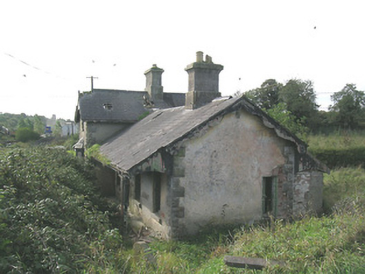 Laffansbridge Railway Stationrailway station · 575 yd
 Church Hill, BallintogherRuins · 888 yd
 Enclosure in Ballintogher (graystown Par.)Enclosure · 916 yd
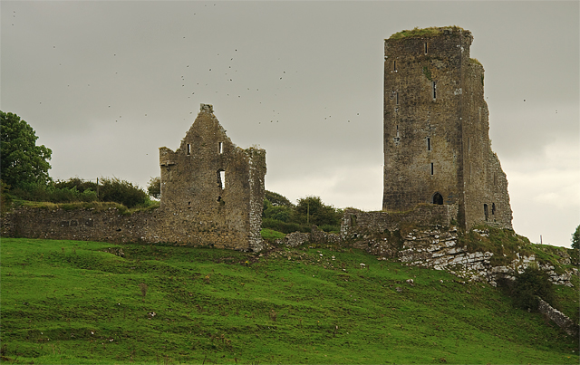 Bawn in GraystownBawn · 1395 yd
 Castle (in ruins)Castle, tower house · 1654 yd
 Enclosure in Knockavadagh,springhill (killenaule Par.)Enclosure · 1.3 mi
 Gobban Saer's GraveArchaeological place · 1.6 mi
 Slieveardagh Heritage CentreVisitor information · 2.0 mi
 Noan WoodWood · 2.1 mi
 Derrynaflan TrailHeritage attraction · 2.5 mi
 Taylor's WoodWood · 2.8 mi
 Horse and JockeyVisitor information · 2.9 mi