What is recorded here
Half the fort remains, a low earthen ring on a pasture ridge where a roadway cut through its southern edge. The surviving bank still marks the boundary between human fields and forgotten life. What was lost beneath the road may have been the entrance, the hearth, or the room where people argued, loved, and died. The fairies kept only what the carts could not take.
On a low ridge in pasture. Depicted as a circular enclosure with the designation 'Fort' on the 1837 ed. of the OS 6-inch map. A raised subcircular area (c. 54m E-W; c. 42m N-S) enclosed from NE-E-ESE by a low bank of earth and stone (Wth 2m; H 0.2-0.6m). From ESE-S-SW the rath has been destroyed due to the construction of an ENE-WSW roadway. From SW-N-NE the bank has been modified and incorporated into a field boundary. There is no trace of a fosse and the original entrance is not recognisable. Adjoining the outer face of the bank at ENE are the foundations of a possible house site (LF023-061002-).
Compiled by: Patrick F. O'Donovan
Date of upload: 15 June 2012
A fairy fort or earthen ringfort in Ballintober, likely dating to the early medieval period, is characterized by a subcircular raised area with a partial enclosing bank. Local tradition associates such sites with fairy folk, and they were often avoided due to beliefs in their supernatural inhabitants.
This remains an important historical record, but the official description says the monument is no longer visible or has been destroyed. The monument record does not grant public access. Check the route and ask the landowner before entering private land.
- What survives
- No visible remains or recorded as destroyed
Places near here
 IndicatedFairy fort / earthen ringfort · 889 yd
 Church (in Ruins)Church · 1216 yd
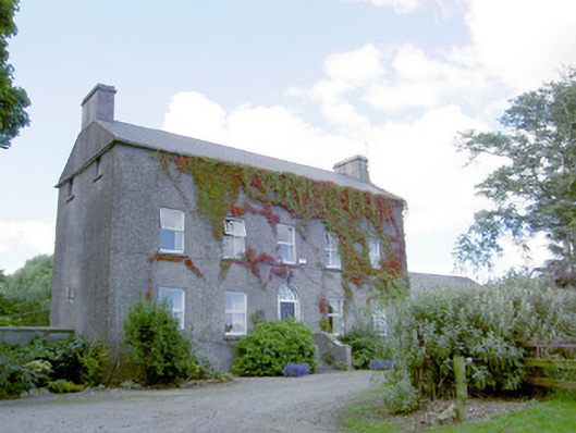 Richmount Hillhouse · 1351 yd
 Indicated FortFairy fort / earthen ringfort · 1354 yd
 CastleCastle, motte · 1413 yd
 DoonphilipCastle, motte · 1623 yd
 Goldsmith Birthplace, PallasVisitor information · 3.4 mi
 Newcastle WoodsForest · 3.5 mi
 National Famine WayWalking route · 3.7 mi
 Target WoodWood · 3.8 mi
 Craft WorkshopHeritage attraction · 4.1 mi
 Guest ServicesVisitor information · 4.1 mi