What is recorded here
Situated on a slight rise, in pasture. Enclosure (WM031-118---) lies c. 100m to NE. Depicted on the revised 1910 ed. OS 25-inch map as an oval-shaped earthwork. Monument described in 1973 as a roughly circular-shaped area (diam. 32m) enclosed by a low earth and stone bank with slight remains of an outer fosse. The interior is relatively level. A Man-made underground passage (WM031-048001-) is visible in the NW quadrant and a house site (WM031-048002-) is located in the centre. Monument is visible today as a circular-shaped tree-lined earthwork on Digital Globe aerial photography which appears to have been incorporated into an adjoining farmyard to N and W. A farm building appears to have been constructed on the bank at N (OSi map).
Compiled by Alison McQueen, Vera Rahilly and Caimin O’Brien.
Date of upload: 13 November 2019
The monument record does not grant public access. Check the route and ask the landowner before entering private land.
- What survives
- Recorded monument
Places near here
 Partially indicatedEnclosure · 156 yd
 OutlinedFairy fort / earthen ringfort · 442 yd
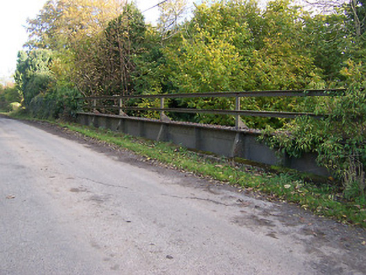 bridgebridge · 1213 yd
 KnockastiaMountain / peak · 1279 yd
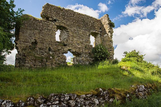 Laragh CastleCastle · 1526 yd
 Ancient Chapel (in Ruins)Church · 1531 yd
 Japanese pagoda treeJapanese pagoda tree · 1.2 mi
 Bishopstown Castle in ruinsCastle, unclassified · 1.4 mi
 Sam's ParkForest · 1.9 mi
 Kilmalady HillMountain / peak · 4.2 mi
 Charles BianconiMemorial · 4.9 mi
 The Bob Traynor GalleryGallery · 5.0 mi