What is recorded here
No visible fort remains at Ballinteskin, though local memory and the lost alignment imply a hidden structure. The area belongs to the red sandstone country where human and fairy boundaries blur, and the absence of stones does not mean absence of life. What is missing is not dead; it has moved outside human sight. The land still distinguishes between the visible and the concealed, and that distinction is the fort.
The following description is derived from both the published 'Archaeological Inventory of County Louth' (Dublin: Stationery Office, 1986) and the 'Archaeological Survey of County Louth' (Dublin: Stationery Office, 1991). In certain instances the entries have been revised and updated in the light of recent research.
Date of upload/revision: 17 July 2007
Situated high on NW side of E-W ridge, overlooking Carlingford Lough to NNW. The site is built on a levelled shelf, which has been cut back into the slope of the ridge. The ringfort consists of a circular area (int. diam. 22m) enclosed by an earth and stone bank (Wth 2-2.5m, H 1m) with a possible original entrance gap (Wth 2m) at WNW. Traces of an external fosse on S and W. Hut site (LH005-037002-) (int. diams. 6.5m E-W, 6m N-S) in SSE of interior of ringfort, slightly removed from the enclosing bank. The walls of the hut site are of earth and stone (Wth c. 1m, H c. 0.5-0.6m) and there is a possible entrance gap at the SSE. The hut site has been modified in recent times to make a booley hut. There are traces of a possible old field system (LH005-037003-) c. 50m to N and NE of the site.
The monument record does not grant public access. Check the route and ask the landowner before entering private land.
- What survives
- Recorded monument
Places near here
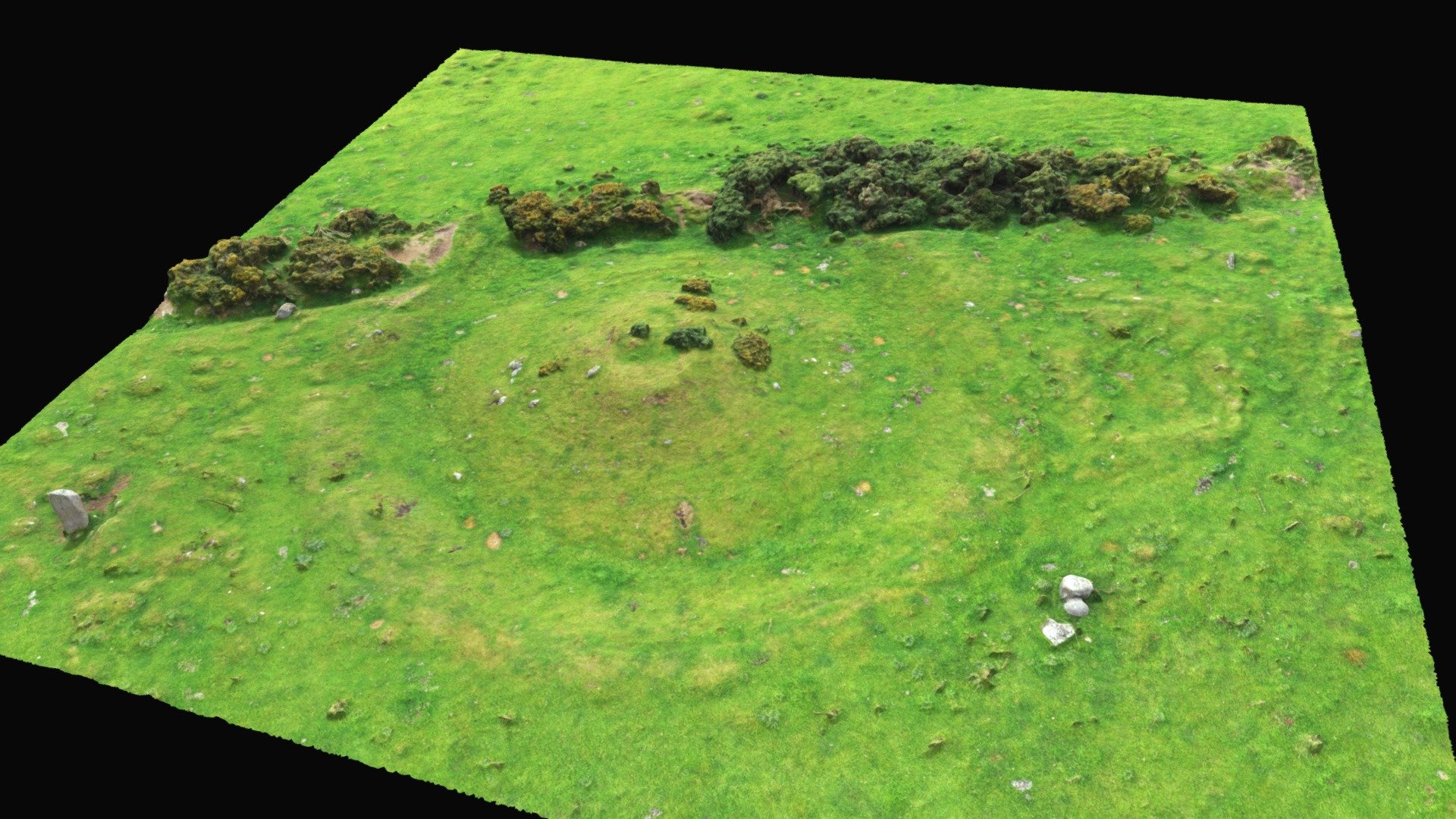 Hut site in BallinteskinHut site · 8 yd
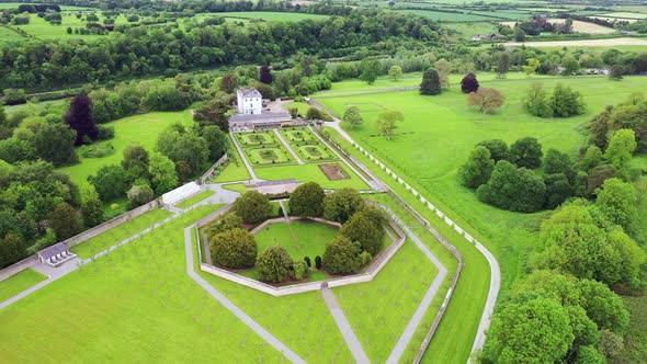 Field system in BallinteskinField system · 57 yd
 Long Woman's GraveArchaeological place · 1027 yd
 The Foxes RockMountain / peak · 1036 yd
 Cooley MountainsMountain range · 1.1 mi
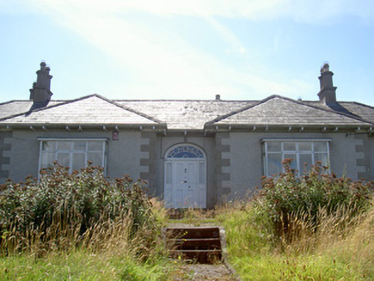 Nucella Lodgehouse · 1.2 mi
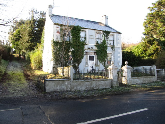 Oberon Villahouse · 1.2 mi
 The Ravens RockMountain / peak · 1.2 mi
 Carlingford Lough GreenwayWalking route · 1.4 mi
 Joanne ReillyMemorial · 2.4 mi
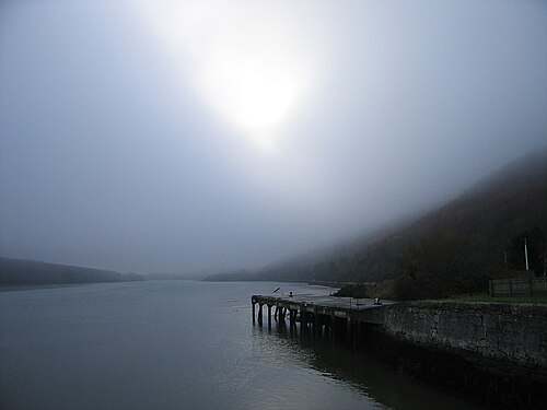 Carlingford LoughSea lough and mountain landscape · 2.8 mi
 TOWER-HOUSE AND BAWN: NARROW WATER CASTLE in Narrow WaterTOWER-HOUSE AND BAWN: NARROW WATER CASTLE · 3.0 mi