What is recorded here
Fairy forts are not for humans. They belong to the changed people, the hidden neighbours, the old residents who never left. They may permit watching. They do not permit taking. What is taken must be returned before sunset. If it is not returned, the child forgets the way home. This is not a warning about monsters. It is a warning about boundary. Some places are not yours. Knowing that is not cowardice. It is intelligence.
On a low rise in moderately drained pasture. Depicted as a circular enclosure with the designation 'Fort' on the 1837 ed. of the OS 6-inch map. The monument has been levelled and is not visible at ground level.
Compiled by: Patrick F. O'Donovan
Date of upload: 26 August 2011
The monument record does not grant public access. Check the route and ask the landowner before entering private land.
- What survives
- Recorded monument
Places near here
 Columbkilles StoneRitual site, holy/saint's stone · 949 yd
 InchmoreIslet · 1075 yd
 Fortification in Inchmore IslandFortification · 1076 yd
 Abbey (in Rns)Religious house, Augustinian canons · 1080 yd
 Derrycassan WoodsWood · 1.4 mi
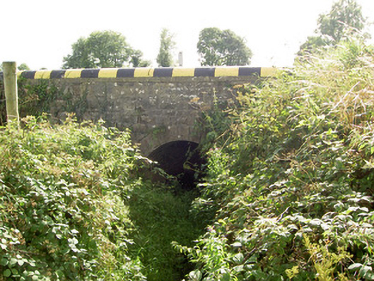 bridgebridge · 1.8 mi
 BawnBawn · 2.0 mi
 Cloonfin WoodForest · 2.7 mi
 Arnaghan SouthMountain / peak · 3.6 mi
 Clonfin Ambush MemorialMemorial · 3.7 mi
 ToomeMountain / peak · 3.9 mi
 Granard MotteMotte-and-bailey castle remains · 3.9 mi