What is recorded here
Fairy forts are human ringforts misnamed by later folklore, and Ballinrink is no exception. Its wide earth bank once enclosed a small living place on the ridge, perhaps a farmhouse, workshop or seasonal camp. The field cut through it and memory shortened it into a fairy tale, but the shape still belongs to the people who dug it.
Located on a rise towards the S end of a small N-S ridge. A circular embanked enclosure (ext. diam. c. 40-45m) with a wide bank is depicted only on the 1836 edition of the OS 6-inch map where it is described in gothic lettering as a ‘Fort’. The location is now divided by a NNE-SSW field bank but traces of a grass-covered enclosure could still be extant.
Archaeological testing (10E0384) c. 170m to the E produced no related material (excavations.ie 2010:512).
The above description is derived from the published 'Archaeological Inventory of County Meath' (Dublin: Stationery Office, 1987). In certain instances the entries have been revised and updated in the light of recent research.
Compiled by: Michael Moore
Date of revision: 31 October 2018
The monument record does not grant public access. Check the route and ask the landowner before entering private land.
- What survives
- Recorded monument
Places near here
 EnclosureEnclosure, large enclosure · 519 yd
 IndicatedFairy fort / earthen ringfort · 699 yd
 mill (water)mill (water) · 944 yd
 CastleCastle, unclassified · 1042 yd
 The MoatCastle, motte and bailey · 1165 yd
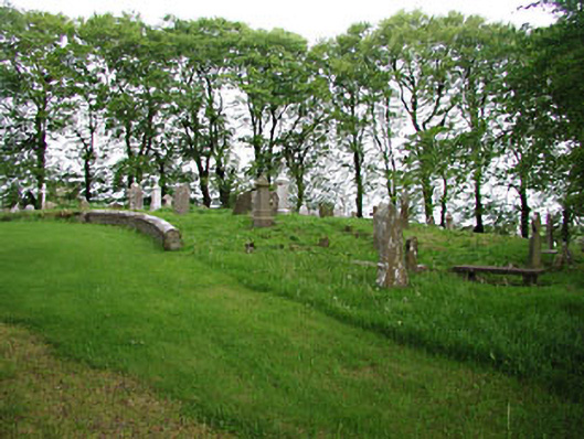 graveyard/cemeterygraveyard/cemetery · 1500 yd
 European BeechEuropean Beech · 1501 yd
 Mullaghmeen ForestPicnic place · 1.7 mi
 Mullaghmeen Red WalkWalking route · 1.8 mi
 Mullaghmeen White WalkWalking route · 1.9 mi
 MullaghmeenMountain / peak · 2.0 mi
 Mount FortuneMountain / peak · 2.8 mi