What is recorded here
That is the end of the evidence available in the supplied source.
The following description is derived from the published 'Archaeological Inventory of County Carlow' (Dublin: Stationery Office, 1993). In certain instances the entries have been revised and updated in the light of recent research.
Date of upload/revision: 17 July 2007
Shown on 1839 and 1908 'OS 6-inch' maps as fort (max. diam. c. 45m). Surrounding areas except small field on SW-W-N have been cleared and boulders now dumped around monument preventing access. Probably a ringfort.
A fairy fort, or earthen ringfort, in Ballinree is a circular earthwork enclosure typical of early-medieval Ireland, likely dating to between the 5th and 10th centuries AD. Local tradition associates such sites with the supernatural, often referring to them as dwellings of the "good people" or fairies, and they were historically avoided for fear of disturbing otherworldly inhabitants.
The monument record does not grant public access. Check the route and ask the landowner before entering private land.
- What survives
- Recorded monument
Places near here
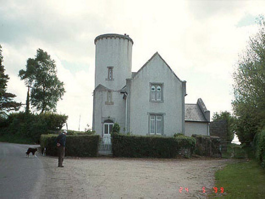 Ballinree Constabulary BarrackRIC barracks · 689 yd
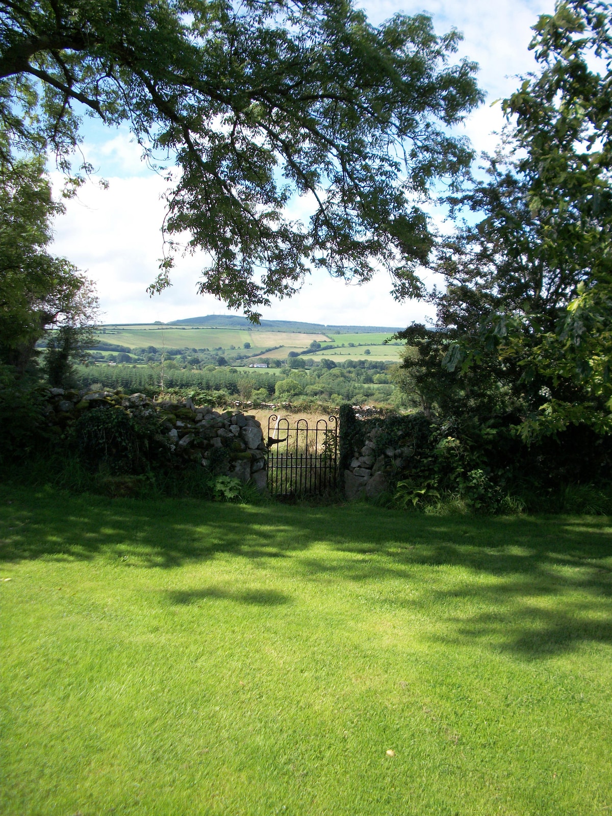 Enclosure in KnockendraneEnclosure · 966 yd
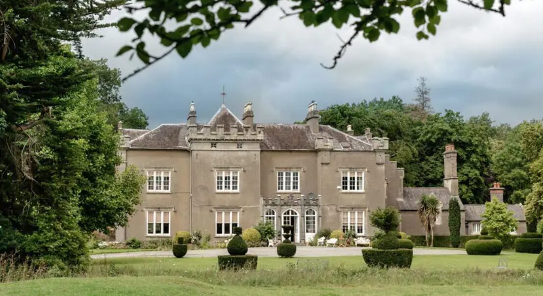 Enclosure in BallinreeEnclosure · 1126 yd
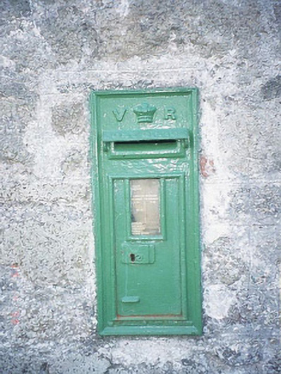 post boxpost box · 1489 yd
 Rathnageeragh Castle (in ruins)Castle, unclassified · 1.4 mi
 Sessile OakSessile Oak · 1.8 mi
 CastleCastle, unclassified · 1.8 mi
 SlievebawnMountain / peak · 2.2 mi
 Carrig WoodWood · 2.8 mi
 CroaghaunMountain / peak · 3.8 mi
 Irish Hangliding and Paragliding AssociationMemorial · 4.0 mi
 Mount LeinsterMountain · 4.1 mi