What is recorded here
The following description is derived from the published 'Archaeological Inventory of County Carlow' (Dublin: Stationery Office, 1993). In certain instances the entries have been revised and updated in the light of recent research.
Date of upload/revision: 17 July 2007
Marked as circular field on 1908 'OS 6-inch' map. Masked by scrub and by boulders cleared from adjacent fields. Feature consists of stone wall, similar to local field boundaries (diam. c. 40m). May be a ringfort or enclosed rock outcrop.
The monument record does not grant public access. Check the route and ask the landowner before entering private land.
- What survives
- Recorded monument
Places near here
 Burial GroundGraveyard · 650 yd
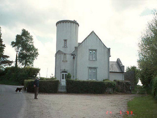 Ballinree Constabulary BarrackRIC barracks · 811 yd
 White Chapel (in ruins)Church · 1159 yd
 Font in KilloughternaneFont · 1164 yd
 Rathnageeragh Castle (in ruins)Castle, unclassified · 1.7 mi
 SlievebawnMountain / peak · 2.1 mi
 Sessile OakSessile Oak · 2.4 mi
 Ballyloughan Castle (in ruins)Castle, Anglo-Norman masonry castle · 2.7 mi
 Carrig WoodWood · 3.3 mi
 Irish Hangliding and Paragliding AssociationMemorial · 3.7 mi
 Mount LeinsterMountain · 3.8 mi
 CroaghaunMountain / peak · 4.0 mi
Other information
Photo: Credit not shown in the picture search · Rights wording not checked; contact us if this picture should be removed