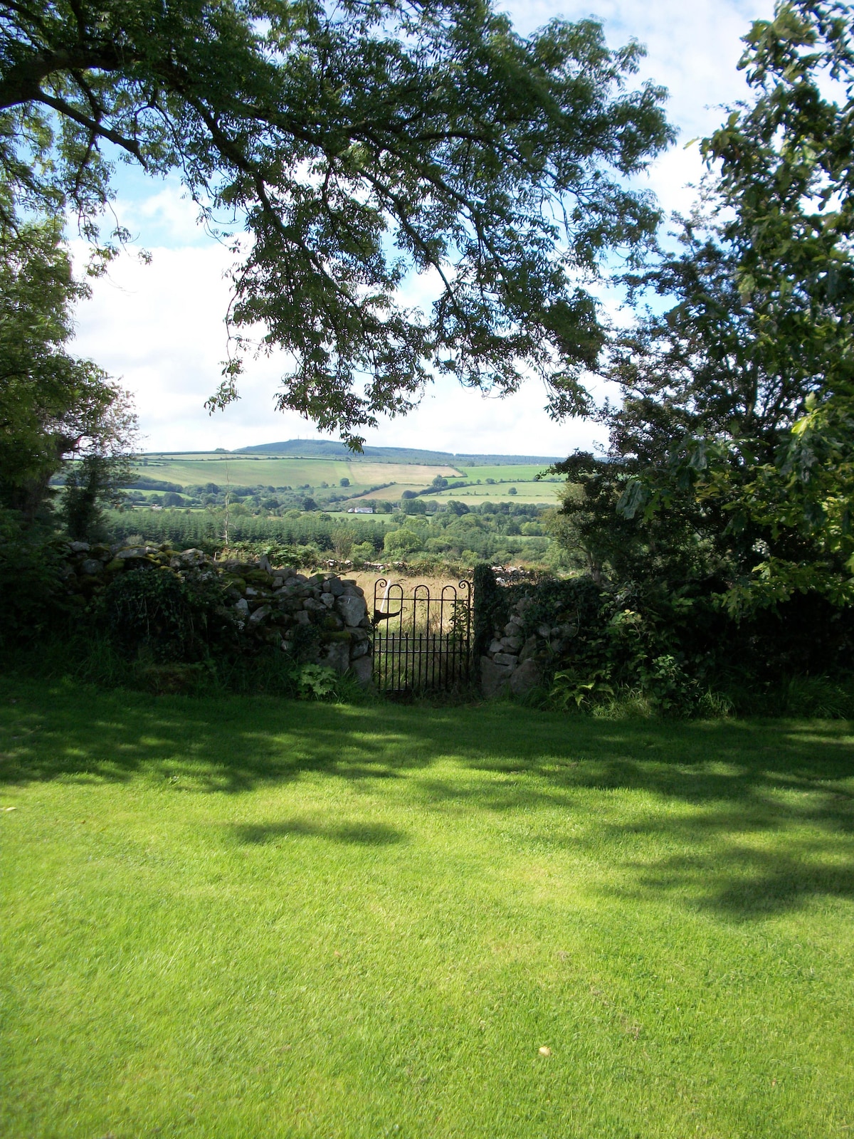
What is recorded here
Trapezoidal single line feature indicated on 1908 'OS 6-inch' map. Relatively recent, possibly some type of grove or enclosure used for apple trees.
Compiled by: Claire Breen
Date of upload: 19 August 2011
The monument record does not grant public access. Check the route and ask the landowner before entering private land.
- What survives
- Recorded monument
Places near here
 Saint Laserian's Catholic Churchchurch/chapel · 599 yd
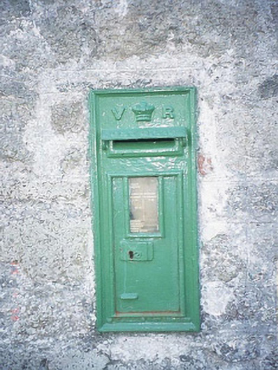 post boxpost box · 601 yd
 Font in DrumfeaFont · 614 yd
 Cross in DrumfeaCross · 658 yd
 Rathnageeragh Castle (in ruins)Castle, unclassified · 1538 yd
 Sessile OakSessile Oak · 1.5 mi
 CastleCastle, unclassified · 1.6 mi
 SlievebawnMountain / peak · 1.8 mi
 Carrig WoodWood · 2.8 mi
 CroaghaunMountain / peak · 3.2 mi
 Irish Hangliding and Paragliding AssociationMemorial · 3.7 mi
 Mount LeinsterMountain · 3.8 mi
Other information
Photo: Credit not shown in the picture search · Rights wording not checked; contact us if this picture should be removed