What is recorded here
Fairy forts hide inside ordinary farmland, wearing the shape of housing or roads until someone remembers they are not human at all. That is what happened in Ballinlegane, where a circular earthwork stood on an east-facing slope until it was levelled around 1972. The fort did not disappear so much as stop being seen, returning beneath the soil to wait for the chance to be misread again.
In tillage, on E-facing slope. Shown on 1842 OS 6-inch map as circular enclosure (diam. c. 30m); on later eds as semicircular area truncated on W side by N-S field fence. According to local information, levelled c. 1972. No visible surface trace.
The above description is derived from the published 'Archaeological Inventory of County Cork. Volume 2: East and South Cork' (Dublin: Stationery Office, 1994). In certain instances the entries have been revised and updated in the light of recent research.
Date of upload/revision: 14 January 2009
A fairy fort or earthen ringfort in Ballinlegane, likely dating to the early medieval period, is represented by a circular enclosure shown on the 1842 Ordnance Survey map, later altered by field boundaries. Local tradition associates such sites with fairy folklore, and the structure was reportedly levelled around 1972.
The monument record does not grant public access. Check the route and ask the landowner before entering private land.
- What survives
- Recorded monument
Places near here
 Fulacht fia in Ballinlegane (barrymore By.)Fulacht fia · 574 yd
 IndicatedFairy fort / earthen ringfort · 810 yd
 Church (in Ruins)Church · 1.1 mi
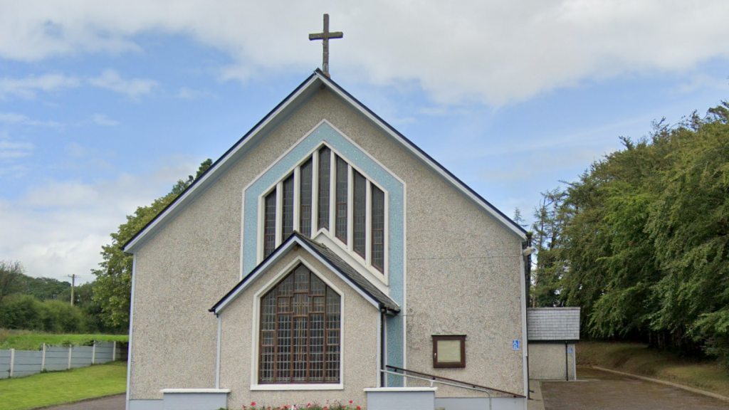
 Watergrasshill Church of Ireland Churchchurch/chapel · 1.1 mi
 Castle (Site of)Castle, unclassified · 1.4 mi
 Graveyard in Killuntin NorthGraveyard · 2.8 mi
 Graveyard in GlenvilleGraveyard · 3.4 mi
 Moanbaun ForestForest · 3.4 mi
 Devonshire's HillMountain / peak · 3.9 mi
 Sarsfields Court (in Ruins)Castle, unclassified · 3.9 mi
 Monananig WoodsWood · 4.2 mi
 Rathcormac massacremassacre · 5.5 mi